William Abner Cemetery
Southfork, Owsley County, Kentucky, USA – *No GPS coordinates
About
-
- Cemetery ID:
Members have Contributed
- 22 Memorials
- 91% photographed
- No location information available Add Location
Advertisement
Photos
No additional photos.
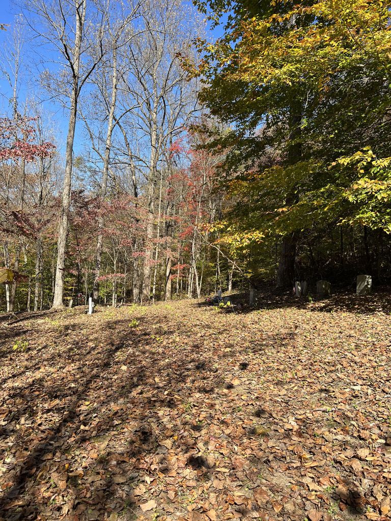
Add PhotosTurn right onto Wolfe Creek Rd, cross the river and turn right onto Lower River Road.
The cemetery is on top of a hill on the left side about 1.2 miles down, on the Parker heirs' property.
http://tfkrha.org/Cemeteries/Cemetery_William_Abner.php
13 unreadable stones
Turn right onto Wolfe Creek Rd, cross the river and turn right onto Lower River Road.
The cemetery is on top of a hill on the left side about 1.2 miles down, on the Parker heirs' property.
http://tfkrha.org/Cemeteries/Cemetery_William_Abner.php
13 unreadable stones
Nearby cemeteries

Southfork, Owsley County, Kentucky, USA
- Total memorials271
- Percent photographed88%
- Percent with GPS1%
Southfork, Owsley County, Kentucky, USA
- Total memorials13
- Percent photographed69%
- Percent with GPS0%

Southfork, Owsley County, Kentucky, USA
- Total memorials4
- Percent photographed100%
- Percent with GPS0%
Southfork, Owsley County, Kentucky, USA
- Total memorials1
- Percent photographed0%
- Added: 27 Apr 2013
- Find a Grave Cemetery ID: 2494387

Cemetery Photos
This is a carousel with slides. Use Next and Previous buttons to navigate, or jump to a slide with the slide dots. Use Escape keyboard button or the Close button to close the carousel.
Success
Uploading...
Waiting...
Failed
This photo was not uploaded because this cemetery already has 20 photos
This photo was not uploaded because you have already uploaded 5 photos to this cemetery
This photo was not uploaded because you have already uploaded 5 photos to this cemetery
Invalid File Type
Birth and death years unknown.
1 photo picked...
2 photos picked...
Uploading 1 Photo
Uploading 2 Photos
1 Photo Uploaded
2 Photos Uploaded
Size exceeded
Too many photos have been uploaded
"Unsupported file type"
• ##count## of 0 memorials with GPS displayed. Double click on map to view more.No cemeteries found