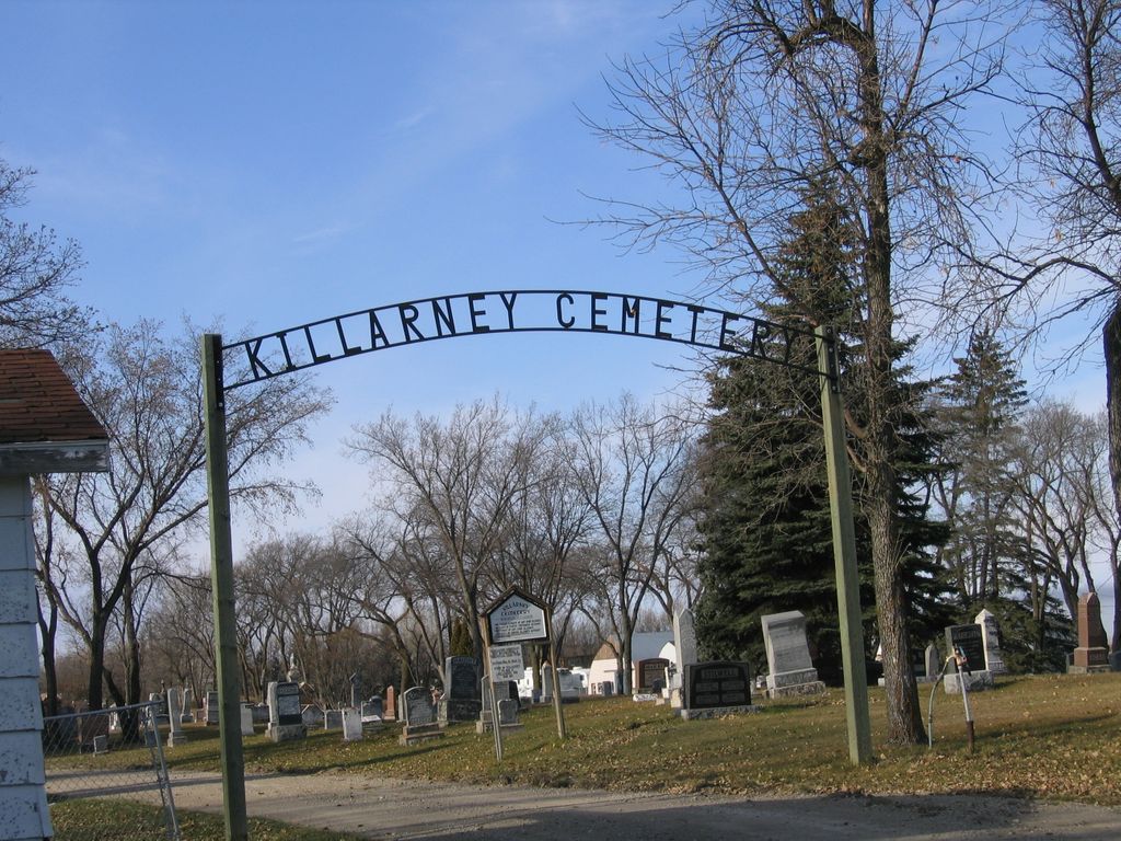
Killarney Cemetery
Also known as Killarney And District Cemetery
Killarney, Southwestern Census Division, Manitoba, Canada
About
-
Get directions Lakeview Avenue
Killarney, RM of Killarney-Turtle Mountain, Manitoba
R0K 1G0 CanadaCoordinates: 49.18588, -99.67462 - killarney.ca/p/killarney-cemetery
- [email protected]
- +1-204-523-7247
-
Office Address
415 Broadway Avenue
P.O. Box 10
Killarney, Manitoba
R0K 1G0 Canada - Cemetery ID:
-
Additional information
Located on both sides of Lakeview Avenue in the west end of the Town of Killarney, just south of the junction with S Railway Street adjoining the Killarney Collegiate, which is found to the southeast of the cemetery.
A network of roadways provides vehicular access to the grounds.
Burial plot information can be obtained via the search facility on the RM's website.
Members have Contributed
Advertisement


The cemetery is managed by the RM of Killarney-Turtle Mountain.
It was established in 1874, and expanded in 1895 when John Williams sold six lots to the town.
(Source: Manitoba Genealogical Society and the book "Trails and Crossroads to Killarney", p 323)
Dominion Land Survey coordinates: LSD05-02-03-17-W1
In the Rural Municipality of Killarney-Turtle Mountain
A part of the town's story and those of its inhabitants from the early days of European settlement through roughly 2007 is told in the above-mentioned volume "Trails and Crossroads to Killarney" and also in the related volumes "Stories of Pioneer Days at Killarney", "Then and Now - Stories from the Early Days of Killarney and Turtle Mountain", "Reflections 1882 - 1982 -- A Community History of The RM of Turtle Mountain and the Town of Killarney"(especially on pp 56f), and "More Reflections - RM of Turtle Mountain Town of Killarney 1982 - 2007".
Free digital versions of these and many other Manitoba local history books can be found online in the University of Manitoba Digital Collections. There is also a list of such books organized by district and town name on the Manitoba Historical Society's website on their page entitled "Finding Aid: Manitoba Local History Books".
A list of burials in this cemetery is available from the Manitoba Genealogical Society (reference #0872), transcribed by a member or members in 1992 and updated in 1995. Also available to MGS members is a searchable online database named the "MGS Manitoba Name Index" (or MANI). Some additional information is contained in the 1996 MGS publication "Carved in Stone: Manitoba Cemeteries and Burial Sites" (revised edition, Special Projects Publication, 106 pages).
Nearby cemeteries
Smith Hill, Southwestern Census Division, Manitoba, Canada
- Total memorials3
- Percent photographed0%
- Percent with GPS0%
Killarney, Southwestern Census Division, Manitoba, Canada
- Total memorials1
- Percent photographed100%
- Percent with GPS0%

Holmfield, Southwestern Census Division, Manitoba, Canada
- Total memorials378
- Percent photographed94%
- Percent with GPS3%

Ninga, Southwestern Census Division, Manitoba, Canada
- Total memorials520
- Percent photographed98%
- Percent with GPS89%
- Added: 20 Dec 2006
- Find a Grave Cemetery ID: 2200484

Cemetery Photos
This is a carousel with slides. Use Next and Previous buttons to navigate, or jump to a slide with the slide dots. Use Escape keyboard button or the Close button to close the carousel.


Success
Uploading...
Waiting...
Failed
This photo was not uploaded because this cemetery already has 20 photos
This photo was not uploaded because you have already uploaded 5 photos to this cemetery
This photo was not uploaded because you have already uploaded 5 photos to this cemetery
Invalid File Type
Birth and death years unknown.
1 photo picked...
2 photos picked...
Uploading 1 Photo
Uploading 2 Photos
1 Photo Uploaded
2 Photos Uploaded
Size exceeded
Too many photos have been uploaded
"Unsupported file type"
• ##count## of 0 memorials with GPS displayed. Double click on map to view more.No cemeteries found