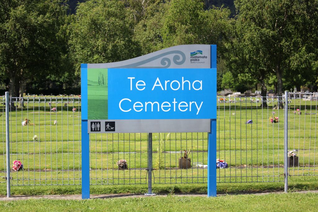
Te Aroha Cemetery
Te Aroha, Matamata-Piako District, Waikato, New Zealand
About
-
Get directions Stanley Road
Te Aroha, Matamata-Piako District, Waikato New ZealandCoordinates: -37.55615, 175.71096 - www.mpdc.govt.nz/component/cemeteries
- Cemetery ID:
Members have Contributed
Advertisement
Photos


Te Aroha Cemetery was initially administered by elected Cemetery Trustees and was later taken over by the local town council. It is now under the administration of the Matamata-Piako District Council in Te Aroha. They hold the Burial Registers, an Internment Book, Warrant Books and the original Cash Book.
The earliest burials were recorded in 1882. At the back of the cemetery, closest to the mountain are the earliest headstones and burials.
The cemetery has a separate Returned Services Association burial area with flagpole.
There are 10 Commonwealth Commission War Graves for World War One burials.
There are several walls for ash burials, these are for recent deaths, as well as Block 61a for earlier ash burials.
There is a separate area for the Montague Family.
Numbering System
The cemetery has been numbered by the council.
The cemetery plan loaded by David Hall is the Council Plan, showing the numbering system used at the cemetery. This is the numbering system used in the council's burial records.
The format for this system is by Block, then Plot Number. The earlier blocks have a letter, then they go to Block number. The Block letter or number is displayed at the end of the most rows.
The other hand drawn plan and numbering system were created by the NZ Society of Genealogists when their volunteers completed a transcription of the headstones in the 1980s. The work is published as part of the NZ Cemetery Record. This numbering system is only useful with the typed transcription. You won't find this numbering system at the cemetery.
Opening Hours
Gates at Te Aroha Cemetery are open by 8am and closed by 6pm, daily. During summer the gates are usually open later to work in with daylight savings.
Important notice regarding Monuments
A number of older monuments have moved or been damaged by historic and recent earthquakes. Please stay clear of marked monuments.
There is also significant damage by rabbits, please walk carefully.
Nearby cemeteries

Paeroa, Hauraki District, Waikato, New Zealand
- Total memorials42
- Percent photographed100%
- Percent with GPS60%

Katikati, Western Bay of Plenty District, Bay of Plenty, New Zealand
- Total memorials1k+
- Percent photographed68%
- Percent with GPS12%

Morrinsville, Matamata-Piako District, Waikato, New Zealand
- Total memorials2k+
- Percent photographed45%
- Percent with GPS10%

Paeroa, Hauraki District, Waikato, New Zealand
- Total memorials4k+
- Percent photographed54%
- Percent with GPS15%
- Added: 12 Jan 2008
- Find a Grave Cemetery ID: 2245566

Cemetery Photos
This is a carousel with slides. Use Next and Previous buttons to navigate, or jump to a slide with the slide dots. Use Escape keyboard button or the Close button to close the carousel.


Success
Uploading...
Waiting...
Failed
This photo was not uploaded because this cemetery already has 20 photos
This photo was not uploaded because you have already uploaded 5 photos to this cemetery
This photo was not uploaded because you have already uploaded 5 photos to this cemetery
Invalid File Type
Birth and death years unknown.
1 photo picked...
2 photos picked...
Uploading 1 Photo
Uploading 2 Photos
1 Photo Uploaded
2 Photos Uploaded
Size exceeded
Too many photos have been uploaded
"Unsupported file type"
• ##count## of 0 memorials with GPS displayed. Double click on map to view more.No cemeteries found