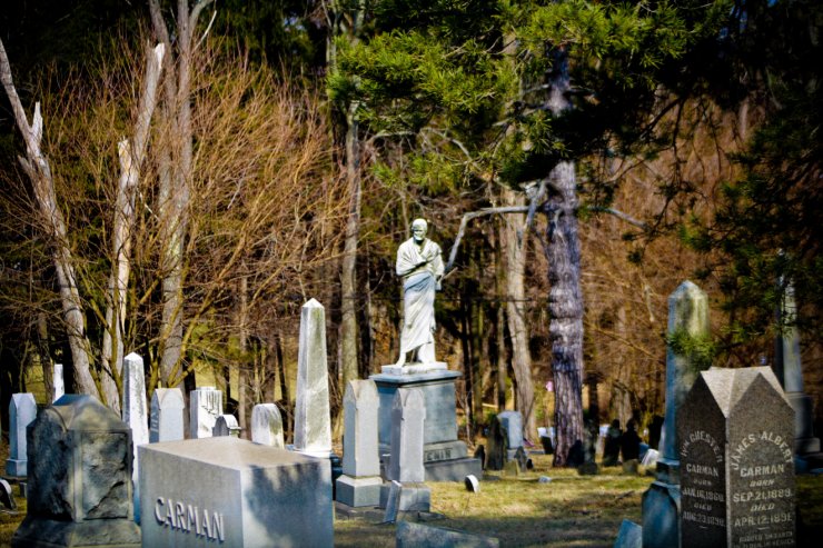
Methodist Cemetery
Saint Clairsville, Belmont County, Ohio, USA
About
-
Get directions Newell Ave; Richland Twp.
Saint Clairsville, Ohio, USACoordinates: 40.08209, -80.89995 - Cemetery ID:
Members have Contributed
Advertisement
Photos


McKelvey's Centennial History of Belmont County... states in part: "In 1809, St. Clairsville was connected with the West Wheeling circuit, with Jacob Young as pastor; and that year the Methodist Episcopal Cemetery was purchased, and a large frame Methodist Episcopal Church was built, with a gallery in the rear, facing the pulpit. The trustees, who supervised the work, were Vachel Hall, Henry Mozier, Henry Johnson, Robert Dent and Joseph Hedges."
An 1868 map of St. Clairsville correctly identifies the location of the Methodist Cemetery and shows the Friends Meeting House located about a quarter mile to the west.
Unfortunately, this cemetery was incorrectly illustrated in the 1888 Atlas of Belmont County as the Friends Cemetery, on the map of St. Clairsville, on the North Commons Rd. Today, this road is named Newell Ave.
To be clear, the cemetery map, of 1888, mis-identified this cemetery as the Friends Cemetery, as does google maps. This is and has, since 1809, been the Methodist Cemetery associated with the Methodist Church in St Clairsville.
Nearby cemeteries
Saint Clairsville, Belmont County, Ohio, USA
- Total memorials1
- Percent photographed0%

Saint Clairsville, Belmont County, Ohio, USA
- Total memorials150
- Percent photographed75%
- Percent with GPS59%

Saint Clairsville, Belmont County, Ohio, USA
- Total memorials10k+
- Percent photographed66%
- Percent with GPS21%

Saint Clairsville, Belmont County, Ohio, USA
- Total memorials30
- Percent photographed80%
- Percent with GPS77%
- Added: 1 Jan 2000
- Find a Grave Cemetery ID: 42110

Cemetery Photos
This is a carousel with slides. Use Next and Previous buttons to navigate, or jump to a slide with the slide dots. Use Escape keyboard button or the Close button to close the carousel.


Success
Uploading...
Waiting...
Failed
This photo was not uploaded because this cemetery already has 20 photos
This photo was not uploaded because you have already uploaded 5 photos to this cemetery
This photo was not uploaded because you have already uploaded 5 photos to this cemetery
Invalid File Type
Birth and death years unknown.
1 photo picked...
2 photos picked...
Uploading 1 Photo
Uploading 2 Photos
1 Photo Uploaded
2 Photos Uploaded
Size exceeded
Too many photos have been uploaded
"Unsupported file type"
• ##count## of 0 memorials with GPS displayed. Double click on map to view more.No cemeteries found