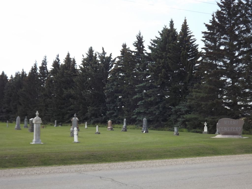
Miami Cemetery
Miami, Pembina Valley Census Division, Manitoba, Canada
About
-
Get directions 34049 Provincial Highway 23
(aka Provincial Range Road 25N)
Miami, Rural Municipality of Thompson, Manitoba
R0G 1H0 CanadaCoordinates: 49.36927, -98.22882 - www.rmofthompson.com/
- [email protected]
- +1-204-435-2114
-
Office Address
Rural Municipality of Thompson
531 Norton Avenue
PO Box 190
Miami, Rural Municipality of Thompson, Manitoba
R0G 1H0 - Cemetery ID:
-
Additional information
Located 0.5 miles (0.8 km) east of the town of Miami, on the SW corner of the junction of Provincial Highway 23 with Provincial Road 34W
A single roadway provides vehicular access to the grounds
The cemetery is managed by a local committee, whose current contact information is available by contacting the staff of the RM of Thompson [2024/02].
Members have Contributed
Advertisement
Photos


Miami, the business center of Thompson Municipality, is a small, friendly town on Highway #23, situated at the foot of the Pembina Hills, about 100 kilometers southwest of Manitoba's capital city, Winnipeg. The town's name is derived from an Indian word for "Mother". The government surveyors of 1880-1890 placed many native names on their maps, thus securing their permanence.
The history of the area around where the town stands is rather vague for the years from 1873 until the railway arrived in 1889, a period of sixteen years. After Robert Stevenson came to homestead on 16-04-05-W1 in 1873, a somewhat uncertain stream of settlers decided to make their homes near the beautiful Pembina Hills, and on the plain to the east. Others had come between 1873 and 1876, but a severe grasshopper plague had wiped out their first crops and they moved on.
Before the town of Nelsonville developed, the nearest point of supply for the settlers was at the town which had grown around Lower Fort Garry, an arduous trip of over seventy miles on a hunter's trail through mosquito-infested swamp. As the earlier settlers became established, some of them provided stopping places and trading stores along the numerous trails. One such store was located in a log building on NW-21-04-05-W1, approximately three miles south of the present town of Miami. William Thompson came to NE-05-05-06-W1 in 1874 and provided a stopping place for travelers coming down the trail looking for land. In 1878, he opened a post office in his home which was known as Thompsonville.
The years 1877-1878 saw a surge in the movement to the new land. A few years of good crops allowed the very early families to become more established. and word got back to relatives at home in the east of their success. Many came, often members of the same family, and took up land. The speculators were there as well and in a short time complaints were made that there was no longer any land available to homestead.
With this influx, it became evident that eventually a railway must come through the area. In 1879-1880 a number of companies were vying for capital, hoping to be the first to offer service. Lines were being surveyed, speculators were acquiring land along the proposed routes, and others were busy surveying townsites on their land hoping to attract a life-giving, wealth-producing railway.
At the present time, it is impossible to say what sparked the building of a village on SW-08-05-06-W1.
(Source: Miami and R.M. of Thompson Chronicles, pp 35ff [1998; Adapted])
~~~~~~~~~~
Dominion Land Survey coordinates: LSD16-05-05-06-W1
In the Rural Municipality of Thompson
~~~~~~~~~~
As noted above, a part of the community's story, and those of its inhabitants, from the early days of European settlement through roughly 1998 is told in the volumes "Miami and R.M. of Thompson Chronicles", along with the earlier work entitled "The Hills of Home - A History of the Municipality of Thompson".
Free digital versions of these and many other Manitoba local history books can be found online in the University of Manitoba Digital Collections. There is also a list of such books organized by district and town name on the Manitoba Historical Society's website on their page entitled "Finding Aid: Manitoba Local History Books".
A list of burials in this cemetery is available from the Manitoba Genealogical Society (reference #0332), transcribed by a member or members in 1988. Also available to MGS members is a searchable online database named the "MGS Manitoba Name Index" (or MANI). Some additional information is contained in the 1996 MGS publication "Carved in Stone: Manitoba Cemeteries and Burial Sites" (revised edition, Special Projects Publication, 106 pages).
Nearby cemeteries
Miami, Pembina Valley Census Division, Manitoba, Canada
- Total memorials0
- Percent photographed0%
- Percent with GPS0%

Miami, Pembina Valley Census Division, Manitoba, Canada
- Total memorials5
- Percent photographed100%
- Percent with GPS0%
Miami, Pembina Valley Census Division, Manitoba, Canada
- Total memorials0
- Percent photographed0%
- Percent with GPS0%

Thornhill, Pembina Valley Census Division, Manitoba, Canada
- Total memorials109
- Percent photographed96%
- Percent with GPS6%
- Added: 17 Mar 2008
- Find a Grave Cemetery ID: 2253682

Cemetery Photos
This is a carousel with slides. Use Next and Previous buttons to navigate, or jump to a slide with the slide dots. Use Escape keyboard button or the Close button to close the carousel.


Success
Uploading...
Waiting...
Failed
This photo was not uploaded because this cemetery already has 20 photos
This photo was not uploaded because you have already uploaded 5 photos to this cemetery
This photo was not uploaded because you have already uploaded 5 photos to this cemetery
Invalid File Type
Birth and death years unknown.
1 photo picked...
2 photos picked...
Uploading 1 Photo
Uploading 2 Photos
1 Photo Uploaded
2 Photos Uploaded
Size exceeded
Too many photos have been uploaded
"Unsupported file type"
• ##count## of 0 memorials with GPS displayed. Double click on map to view more.No cemeteries found