Clandeboye United Church Cemetery
Clandeboye, Selkirk Census Division, Manitoba, Canada
About
-
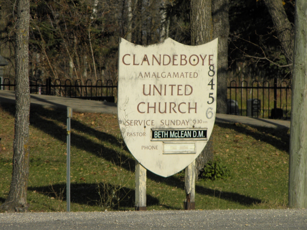
Get directions 8456 Clandeboye Road
Clandeboye, RM of St Andrews, Manitoba
R0C 0P0 CanadaCoordinates: 50.24113, -96.97543 - united-church.ca/search/locator/all/102651
- [email protected]
- +1-204-389-2843
-
Office Address
8456 Clandeboye Road
Clandeboye, RM of St Andrews, Manitoba
R0C 0P0 Canada - Cemetery ID:
-
Additional information
With access from Clandeboye Road, the cemetery is in the churchyard north of the church found on the NW corner of the junction with Provincial Highway 9
There is no network of improved roadways providing vehicular access to the grounds.
Burial records can be consulted by contacting the Parish Secretary.
Members have Contributed
Advertisement
Photos

The original church cornerstone was laid on 25 June 1901. The first burial in the nearby cemetery occurred in 1902. The present church building dates from 1982.
(Source: Manitoba Genealogical Society [Adapted])
~~~~~~~~~~
The first meeting place of the church congregation was in the old school which was located one and a half miles east of the church corner. It was there on the evening of January 8th, 1901, that a committee was formed "for the purpose of locating a site and building a church". Chairman of the committee was D. Matheson with members recorded as being Wm. Leask, Alex McRae, Jacob McNabb, W. Matheson, F. Millidge, John Leask, and Wm. McRae. At a meeting in February, the names of Jos. McDonald, A. P. McDonald, and Alex McBain were added. One acre of land was given by Mrs. Boswell for only four dollars. The churchyard serves as its own Memorial with the names of all the congregational members and adherents who have passed on. The grounds are enhanced with some well-matured, hand-planted trees.
(Source: Beyond the Gates of Lower Fort Garry 1880-1981, pp 51f [Adapted])
~~~~~~~~~~
Next to this church building is a bell tower, below which is a plaque on the original church cornerstone placed at this site for the 50th anniversary, on 24 June 1951.
(Source: Manitoba Historical Society [Adapted])
~~~~~~~~~~
Dominion Land Survey coordinates: LSD01-04-15-04-E1
In the Rural Municipality of St Andrews
~~~~~~~~~~
As noted above, a part of the town's story, and those of its inhabitants, from the early days of European settlement through roughly 1999 is told in the volumes "Beyond the Gates of Lower Fort Garry 1880-1981", especially starting on page 51, and the related volume "Beyond the Gates of Lower Fort Garry - A Sequel", especially starting on page 42.
Free digital versions of these and many other Manitoba local history books can be found online in the University of Manitoba Digital Collections. There is also a list of such books organized by district and town name on the Manitoba Historical Society's website on their page entitled "Finding Aid: Manitoba Local History Books".
A list of burials in this cemetery is available from the Manitoba Genealogical Society (reference #0025), transcribed by a member or members in NNNN and updated in NNNN. Also available to MGS members is a searchable online database named the "MGS Manitoba Name Index" (or MANI). Some additional information is contained in the 1996 MGS publication "Carved in Stone: Manitoba Cemeteries and Burial Sites" (revised edition, Special Projects Publication, 106 pages).
Nearby cemeteries

Clandeboye, Selkirk Census Division, Manitoba, Canada
- Total memorials804
- Percent photographed37%
- Percent with GPS14%

Petersfield, Selkirk Census Division, Manitoba, Canada
- Total memorials119
- Percent photographed12%
- Percent with GPS2%

Cloverdale, Selkirk Census Division, Manitoba, Canada
- Total memorials251
- Percent photographed94%
- Percent with GPS0%

Petersfield, Selkirk Census Division, Manitoba, Canada
- Total memorials184
- Percent photographed46%
- Percent with GPS6%
- Added: 14 Oct 2011
- Find a Grave Cemetery ID: 2422269

Cemetery Photos
This is a carousel with slides. Use Next and Previous buttons to navigate, or jump to a slide with the slide dots. Use Escape keyboard button or the Close button to close the carousel.

Success
Uploading...
Waiting...
Failed
This photo was not uploaded because this cemetery already has 20 photos
This photo was not uploaded because you have already uploaded 5 photos to this cemetery
This photo was not uploaded because you have already uploaded 5 photos to this cemetery
Invalid File Type
Birth and death years unknown.
1 photo picked...
2 photos picked...
Uploading 1 Photo
Uploading 2 Photos
1 Photo Uploaded
2 Photos Uploaded
Size exceeded
Too many photos have been uploaded
"Unsupported file type"
• ##count## of 0 memorials with GPS displayed. Double click on map to view more.No cemeteries found