Manson Cemetery
Manson, Western Manitoba Census Division, Manitoba, Canada
About
-
Get directions MB Road 77 North, Manson, RM of Ellice-Archie, Manitoba, R0M 1J0 CanadaCoordinates: 50.13709, -101.36269
- www.mhs.mb.ca/docs/sites/mansoncemetery.shtml
- Cemetery ID:
-
Additional information
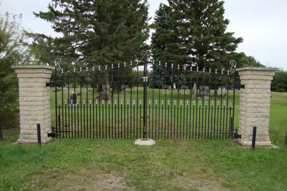
Located just east of the town site of Manson, MB, an unincorporated hamlet found 13 kilometres (about 8.1 miles) north of the Trans-Canada Highway and east of Hwy 41, on the south side of Provincial Range Road 77N
Members have Contributed
Advertisement
Photos

In the Rural Municipality of Ellice-Archie, near the Manitoba-Saskatchewan border
Dominion Land Survey coordinates: LSD2-34-13-29-W1
A part of the story of the town and its inhabitants from the early days of European settlement is told in the volume "Century of Memories - Manson, McAuley, Willen; Archie Municipality 1883-1983", especially starting on page 23. A digital version of this and many other Manitoba local history books can be found online in the University of Manitoba Digital Collections. There is also a list of such books organized by district and town name on the Manitoba Historical Society's website on their page entitled "Finding Aid: Manitoba Local History Books".
Nearby cemeteries
Manson, Western Manitoba Census Division, Manitoba, Canada
- Total memorials2
- Percent photographed100%
- Percent with GPS0%

Fleming, Melville Census Division, Saskatchewan, Canada
- Total memorials705
- Percent photographed71%
- Percent with GPS1%

McAuley, Western Manitoba Census Division, Manitoba, Canada
- Total memorials562
- Percent photographed87%
- Percent with GPS0%

Willen, Western Manitoba Census Division, Manitoba, Canada
- Total memorials20
- Percent photographed85%
- Percent with GPS0%
- Added: 1 Jan 2009
- Find a Grave Cemetery ID: 2287971

Cemetery Photos
This is a carousel with slides. Use Next and Previous buttons to navigate, or jump to a slide with the slide dots. Use Escape keyboard button or the Close button to close the carousel.

Success
Uploading...
Waiting...
Failed
This photo was not uploaded because this cemetery already has 20 photos
This photo was not uploaded because you have already uploaded 5 photos to this cemetery
This photo was not uploaded because you have already uploaded 5 photos to this cemetery
Invalid File Type
Birth and death years unknown.
1 photo picked...
2 photos picked...
Uploading 1 Photo
Uploading 2 Photos
1 Photo Uploaded
2 Photos Uploaded
Size exceeded
Too many photos have been uploaded
"Unsupported file type"
• ##count## of 0 memorials with GPS displayed. Double click on map to view more.No cemeteries found