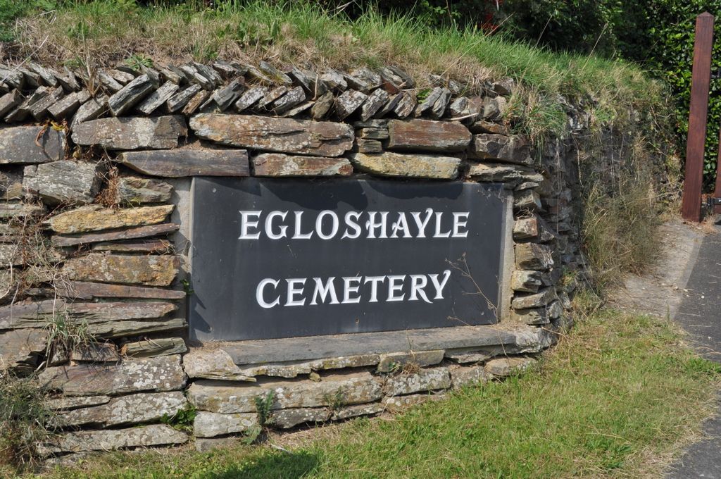
Egloshayle Cemetery
Wadebridge, Cornwall Unitary Authority, Cornwall, England – *No GPS coordinates
About
-
Egloshayle Road
Wadebridge, Cornwall Unitary Authority, Cornwall EnglandNo GPS information available Add GPS
- Cemetery ID:
Members have Contributed
- 3,259 Memorials
- 73% photographed
- No location information available Add Location
Advertisement
Photos


In 1986 it was taken over by Wadebridge Town Council who instituted a policy of a "lawn cemetery" with headstones only.
The Plan of Egloshayle Cemetery was designed so that visitors to the cemetery might find a particular grave/memorial using the Plot Numbers assigned by myself for FAG.Areas W,X &Y are defined by footpaths not signed within the Cemetery.
Area Z is the oldest part defined by the South gate and a line between the palm tree visible from the Garden of Remembrance and a large distinctive Tomb with railing.
In the Middle Cemetery the Rows are lettered from the hedge
with A to the right facing away from the hedge and AA to the left.
The Lawn starts after Row M and continues in Rows 1-9.
The memorial stones are numbered from the path outwards 1-??
in all 3 sections.
Currently (2018) the New Lawn area graves are only to the South of the pathway. Rows are numbered from the Car-park 1-?
Stones are numbered from the central pathway.
Row 4 is a short row.
Nearby cemeteries

Wadebridge, Cornwall Unitary Authority, Cornwall, England
- Total memorials469
- Percent photographed80%
- Percent with GPS38%

Falmouth, Cornwall Unitary Authority, Cornwall, England
- Total memorials25k+
- Percent photographed21%
- Percent with GPS4%

Truro, Cornwall Unitary Authority, Cornwall, England
- Total memorials20k+
- Percent photographed13%
- Percent with GPS13%

Redruth, Cornwall Unitary Authority, Cornwall, England
- Total memorials8k+
- Percent photographed41%
- Percent with GPS16%
- Added: 9 Sep 2014
- Find a Grave Cemetery ID: 2553247

Cemetery Photos
This is a carousel with slides. Use Next and Previous buttons to navigate, or jump to a slide with the slide dots. Use Escape keyboard button or the Close button to close the carousel.


Success
Uploading...
Waiting...
Failed
This photo was not uploaded because this cemetery already has 20 photos
This photo was not uploaded because you have already uploaded 5 photos to this cemetery
This photo was not uploaded because you have already uploaded 5 photos to this cemetery
Invalid File Type
Birth and death years unknown.
1 photo picked...
2 photos picked...
Uploading 1 Photo
Uploading 2 Photos
1 Photo Uploaded
2 Photos Uploaded
Size exceeded
Too many photos have been uploaded
"Unsupported file type"
• ##count## of 0 memorials with GPS displayed. Double click on map to view more.No cemeteries found