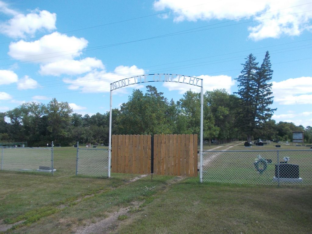
Ninette Cemetery
Ninette, Southwestern Census Division, Manitoba, Canada
About
-
Get directions Lake Street
(26900 Range Road 96W)
Ninette, Rural Municipality of Prairie Lakes, Manitoba
R0K 1R0 CanadaCoordinates: 49.39896, -99.64206 - www.rmofprairielakes.ca/
- [email protected]
- +1-204-537-2241
-
Office Address
Rural Municipality of Prairie Lakes
211-3rd Street S
PO Box 100
Belmont, Rural Municipality of Prairie Lakes, Manitoba
R0K 0C0 Canada - Cemetery ID:
-
Additional information
About 650 m (1 mile) west of the community of Ninette, MB, via Lake Street, which eventually turns south and becomes Range Road 96W
[As you exit town to the south along Highway #23 and 18, across from the Ninette Motor Hotel you can leave the highway to the right and take a scenic gravel road up the hill to the Cemetery. It is also accessible from the first right turn as the highway crests the hill
(Source: Rural Municipality of Prairie Lakes website, Self-guided tour #4 [2024/02; Adapted])]
A network of roadways provides vehicular access to the grounds.
For queries about burials in this cemetery, the current caretakers of the site, members of a local cemetery committee, can be reached using the information on the RM of Prairie Lakes website [2024/02]
NOTE: The RM's website offers a number of pamphlets outlining self-guided tours for people wanting to become more familiar with the area. As noted here, one of them includes and describes this cemetery.
Members have Contributed
Advertisement
Photos


Documents show that on November 1st, 1922, Charles Overend officially sold to the trustees of the Ninette Cemetery, for $1, the northerly limits of NE-13-05-17(-W1); all but 25 feet, running parallel to land that belonged to Isabella Calverley. This strip remained in the Calverley name until her passing in 1955. At that time the RM of Riverside purchased the property for $100 from the Estate, for an expansion of the cemetery site.
Records regarding the early days of the cemetery are very sketchy, due to a robbery in which the safe containing burial records and docuentation from 1928-1955 were stolen and contents were destroyed. The early trustees of the cemetery were Charles Overend, Robert Cooper Scott, and Charles Gilbert Cullen.
According to information acquired, Mrs. Agnes Darough was the first person buried in the cemetery in 1916, (the mother-in-law of Charles Cullen, a trustee). Numerous tombstones bear dates even earlier than this, however, but many were disinterred and moved to the cemetery site once it was established. It is assumed that the difference in dating was due to a lack of urgency in finalizing legalities in those days.
In the earlier days, Ninette did not have an undertaker, and families had the responsibility for burial of their own loved ones. Many early burials were made on the family homesteads.
In the RM of Riverside minutes of 1925, a grant was requested for the building of a mortuary. The following year a building 12 by 16 feet (~3.7 x 4.0 metres), was erected.
In 1952 land was purchased from C. Calverley for construction of an access road leading to the cemetery site from highway #18.
In 1983 Mr. Jack Rodwell Sr. compiled information regarding the cemetery for the Manitoba Genealogical Society. It was as a result of this data that a new map was drawn to reflect documented information.
Once again, expansion of the cemetery site was deemed necessary, and land was purchased from Harry Garabed. This acquisition represented the cemetery site as it is today.
In 1986, the Ninette & District Lions Club requested a by-law to establish a Perpetual Care Fund, contributing $1000 to start the fund. More recently the Club erected a chain link fence around the cemetery site.
Acknowledgements are certainly due to our (then) present trustee, William Worden, for his time and efforts in updating and maintaining the cemetery records and history.
(Source: Riverside heritage, 1896-1996, pp 193ff [1996; Adapted])
~~~~~~~~~~
The land for the Cemetery was sold by Charles Overend for $1 in 1922, but the first recorded burial was in 1916. Other earlier burials involved graves moved from other locations. Records are missing because the
safe containing them was stolen and the contents destroyed. Some patients from the Ninette Sanatorium were buried here.
(Source: Rural Municipality of Prairie Lakes website, Self-guided tour #4 [2024/02; Adapted])
~~~~~~~~~~
Some patients from the Ninette Sanatorium were buried here.
(Source: Manitoba Historical Society [Adapted])
~~~~~~~~~~
Dominion Land Survey coordinates: LSD14-13-05-17-W1
In the Rural Municipality of Prairie Lakes
~~~~~~~~~~
As noted above, a part of the community's story, and those of its inhabitants, from the early days of European settlement through roughly 1996 is told in the volume "Riverside Heritage, 1896-1996", especially on the cited pages. There is also an earlier related volume entitled "History of the Riverside Municipality 1879-1967".
Free digital versions of these and many other Manitoba local history books can be found online in the University of Manitoba Digital Collections. There is also a list of such books organized by district and town name on the Manitoba Historical Society's website on their page entitled "Finding Aid: Manitoba Local History Books".
A list of burials in this cemetery is available from the Manitoba Genealogical Society (reference #0097), transcribed by a member or members in 1990 and updated in 1998. Also available to MGS members is a searchable online database named the "MGS Manitoba Name Index" (or MANI). Some additional information is contained in the 1996 MGS publication "Carved in Stone: Manitoba Cemeteries and Burial Sites" (revised edition, Special Projects Publication, 106 pages).
Nearby cemeteries

Dunrea, Southwestern Census Division, Manitoba, Canada
- Total memorials145
- Percent photographed97%
- Percent with GPS0%

Dunrea, Southwestern Census Division, Manitoba, Canada
- Total memorials16
- Percent photographed88%
- Percent with GPS0%

Dunrea, Southwestern Census Division, Manitoba, Canada
- Total memorials264
- Percent photographed95%
- Percent with GPS0%
Dunrea, Southwestern Census Division, Manitoba, Canada
- Total memorials34
- Percent photographed3%
- Percent with GPS0%
- Added: 12 Sep 2011
- Find a Grave Cemetery ID: 2418008

Cemetery Photos
This is a carousel with slides. Use Next and Previous buttons to navigate, or jump to a slide with the slide dots. Use Escape keyboard button or the Close button to close the carousel.


Success
Uploading...
Waiting...
Failed
This photo was not uploaded because this cemetery already has 20 photos
This photo was not uploaded because you have already uploaded 5 photos to this cemetery
This photo was not uploaded because you have already uploaded 5 photos to this cemetery
Invalid File Type
Birth and death years unknown.
1 photo picked...
2 photos picked...
Uploading 1 Photo
Uploading 2 Photos
1 Photo Uploaded
2 Photos Uploaded
Size exceeded
Too many photos have been uploaded
"Unsupported file type"
• ##count## of 0 memorials with GPS displayed. Double click on map to view more.No cemeteries found