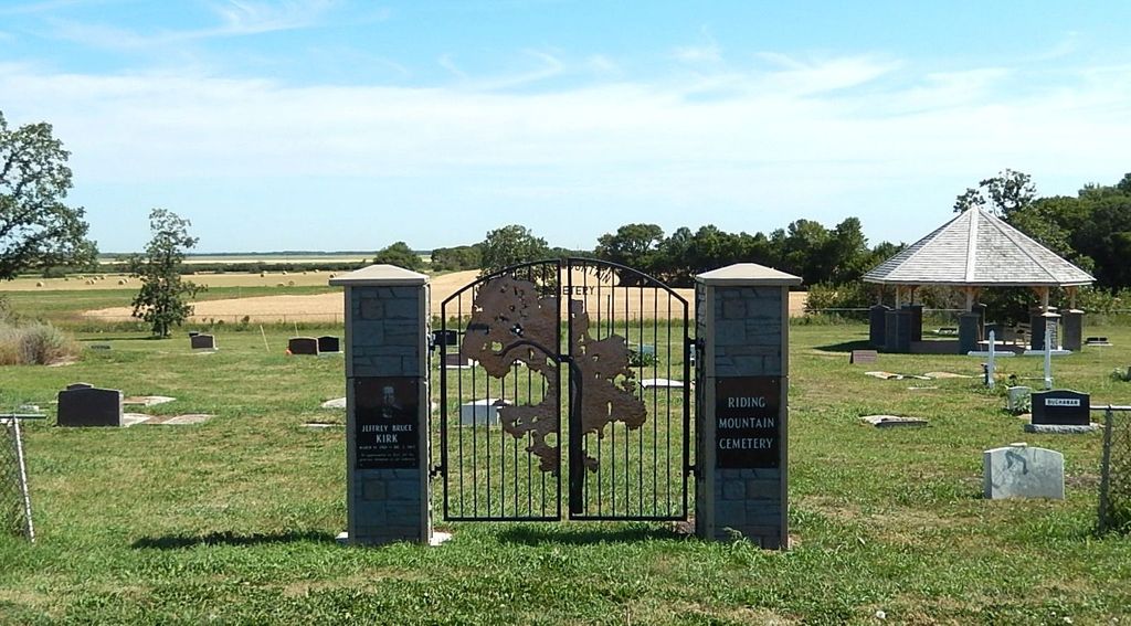
Riding Mountain Cemetery
Riding Mountain, Western Manitoba Census Division, Manitoba, Canada
About
-
Get directions 104951 Provincial Road 87.5W
Riding Mountain, Rural Municipality of Rosedale, Manitoba
R0J 1T0 CanadaCoordinates: 50.54243, -99.48003 - www.rmrosedale.com/
- [email protected]
- +1-204-476-5414
-
Office Address
Rural Municipality of Rosedale
282 Hamilton Street
PO Box 100
Neepawa, Manitoba
R0J 1H0 Canada - Cemetery ID:
-
Additional information
Located NE of the community of Riding Mountain, MB, on the east side of Provincial Road 87.5W, about 0.5 miles (0.8 km) north of Provincial Range Road 104N (aka Government Road)
There is no network of improved roadways providing vehicular access to the grounds.
The cemetery is managed by a local committee, whose current contact information is available from the staff of the the RM of Rosedale [2024/02].
Members have Contributed
Advertisement
Photos


It was originally intended that the village would be established two miles south of the present day site. The first Tobarmore School was built on SW-03-18-15(-W1) in 1890. The first post office was located on SE-04-18-15(-W1), and a store operated by Frank Foulston on 34-17-15(-W1). From information we have been given, the village was named by Mr. A. H. Scouten, who was the first postmaster.
However, when the railway went through in 1903, the siding was built on land owned by "Long Johnny" Buchanan, two miles north of these buildings, and that is where the town grew up on 10-18-15(-W1) and 9-18-15(-W1).
By 1904, the town was an established fact with three general stores, drugstore, doctor, veterinary surgeon, two blacksmith shops, two saw mills, one planer, law office, nursery, and three threshing outfits. In 1905, Mr. Scouten moved the post office to the village and also built a CN Hotel.
(Source: Rosedale Remembers 1884-1984, p 47 [1984; Adapted])
~~~~~~~~~~
Established in 1916.
(Source: Manitoba Genealogical Society)
~~~~~~~~~~
Dominion Land Survey coordinates: LSD07-16-18-15-W1
In the Rural Municipality of Rosedale
~~~~~~~~~~
As noted above, a part of the community's story, and those of its inhabitants, from the early days of European settlement through roughly 1984 is told in the volume "Rosedale Remembers 1884-1984", especially on the cited page. A free digital version of this and many other Manitoba local history books can be found online in the University of Manitoba Digital Collections. There is also a list of such books organized by district and town name on the Manitoba Historical Society's website on their page entitled "Finding Aid: Manitoba Local History Books".
A list of burials in this cemetery is available from the Manitoba Genealogical Society (reference #0328), transcribed by a member or members in 1988. Also available to MGS members is a searchable online database named the "MGS Manitoba Name Index" (or MANI). Some additional information is contained in the 1996 MGS publication "Carved in Stone: Manitoba Cemeteries and Burial Sites" (revised edition, Special Projects Publication, 106 pages).
Nearby cemeteries
Birnie, Western Manitoba Census Division, Manitoba, Canada
- Total memorials3
- Percent photographed0%
- Percent with GPS0%

Kelwood, Western Manitoba Census Division, Manitoba, Canada
- Total memorials754
- Percent photographed68%
- Percent with GPS0%

Birnie, Western Manitoba Census Division, Manitoba, Canada
- Total memorials94
- Percent photographed94%
- Percent with GPS13%

Mountain Road, Western Manitoba Census Division, Manitoba, Canada
- Total memorials332
- Percent photographed99%
- Percent with GPS0%
- Added: 8 Jul 2011
- Find a Grave Cemetery ID: 2409291

Cemetery Photos
This is a carousel with slides. Use Next and Previous buttons to navigate, or jump to a slide with the slide dots. Use Escape keyboard button or the Close button to close the carousel.


Success
Uploading...
Waiting...
Failed
This photo was not uploaded because this cemetery already has 20 photos
This photo was not uploaded because you have already uploaded 5 photos to this cemetery
This photo was not uploaded because you have already uploaded 5 photos to this cemetery
Invalid File Type
Birth and death years unknown.
1 photo picked...
2 photos picked...
Uploading 1 Photo
Uploading 2 Photos
1 Photo Uploaded
2 Photos Uploaded
Size exceeded
Too many photos have been uploaded
"Unsupported file type"
• ##count## of 0 memorials with GPS displayed. Double click on map to view more.No cemeteries found