Friendship Baptist Church Cemetery
Also known as Walnut Springs Baptist Church Cemetery
Tredegar, Calhoun County, Alabama, USA
About
-
Get directions Boozer Lake Road
Tredegar, Alabama 36265 United StatesCoordinates: 33.83111, -85.79889 - Cemetery ID:
Members have Contributed
Advertisement
Photos

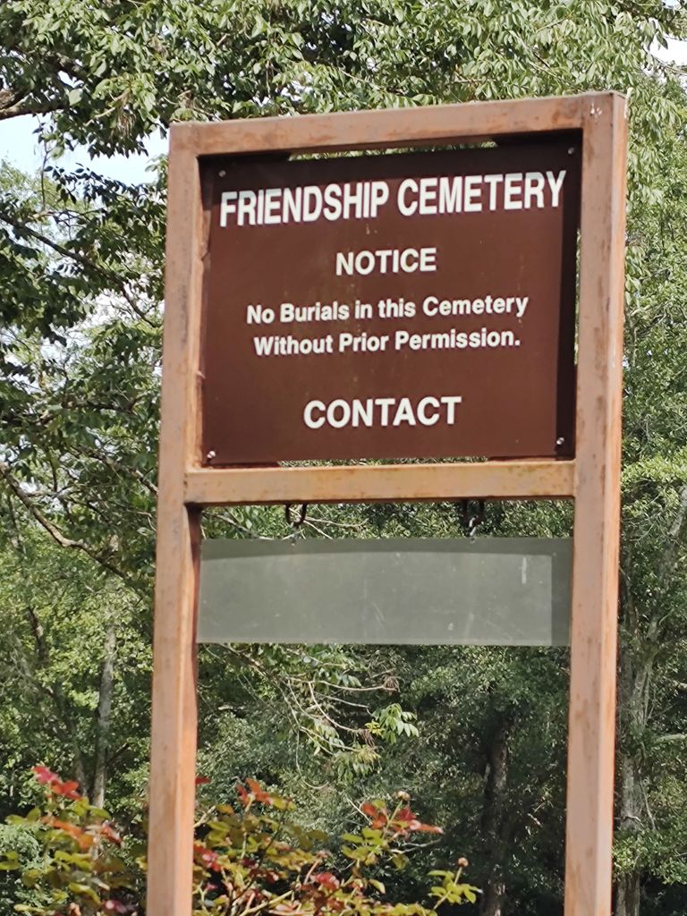
Friendship Baptist Church Cemetery is located at the intersection of Roy Parris Road and Boozer Lake Road.
HISTORY:
The Friendship Baptist Church Cemetery is the old Walnut Springs Baptist Church Cemetery. The Walnut Springs Baptist Church burned down and the cemetery remained. The cemetery is on the land granted by Phillip and Courtney Roberts Sieber in 1836.
DIRECTIONS:
From Jacksonville, travel north on Highway 21/Pelham Road. Turn left (west) on Nisbet Street NW/Highway 204, then turn right (north) on Nisbet Lake Road/County Road 37. At the intersection of Carpenters Lane and Boozer Lake Road/County Road 77, turn left (west) on Boozer Lake Road/County Road 77 and travel about ¾ of a mile. You will see a sign to the right that says Roy Parris Road (runs north). The cemetery road is left (south) of Roy Parris Road. The cemetery road is a white gravel rock "tire track only" road that goes up a hill with woods on both sides. As you top the hill, it opens up and the cemetery is on the right. The old graves are on the left side of the cemetery with newer graves near the entrance. There are a lot of unreadable and broken stones in the old section, and no graves in the middle of the land.
Nearby cemeteries

West Point, Calhoun County, Alabama, USA
- Total memorials198
- Percent photographed96%
- Percent with GPS2%

Jacksonville, Calhoun County, Alabama, USA
- Total memorials7
- Percent photographed43%
- Percent with GPS0%

Tredegar, Calhoun County, Alabama, USA
- Total memorials112
- Percent photographed38%
- Percent with GPS3%

West Point, Calhoun County, Alabama, USA
- Total memorials182
- Percent photographed61%
- Percent with GPS30%
- Added: 16 Feb 2006
- Find a Grave Cemetery ID: 2167007

Cemetery Photos
This is a carousel with slides. Use Next and Previous buttons to navigate, or jump to a slide with the slide dots. Use Escape keyboard button or the Close button to close the carousel.

Success
Uploading...
Waiting...
Failed
This photo was not uploaded because this cemetery already has 20 photos
This photo was not uploaded because you have already uploaded 5 photos to this cemetery
This photo was not uploaded because you have already uploaded 5 photos to this cemetery
Invalid File Type
Birth and death years unknown.
1 photo picked...
2 photos picked...
Uploading 1 Photo
Uploading 2 Photos
1 Photo Uploaded
2 Photos Uploaded
Size exceeded
Too many photos have been uploaded
"Unsupported file type"
• ##count## of 0 memorials with GPS displayed. Double click on map to view more.No cemeteries found