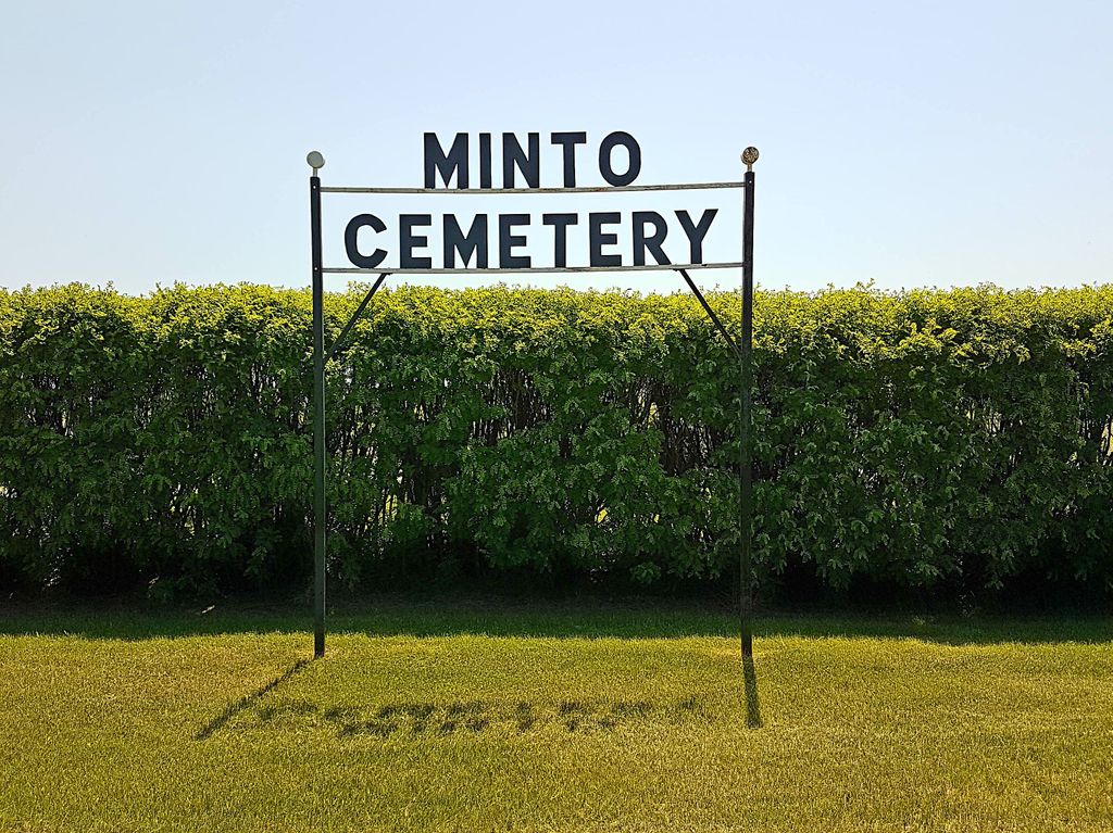
Minto Cemetery
Minto, Southwestern Census Division, Manitoba, Canada
About
-
Get directions 112500 Provincial Road 28N
Minto, RM of Grassland, Manitoba
R0K 1M0 CanadaCoordinates: 49.41444, -100.00403 - www.grasslandmunicipality.ca/p/cemeteries
- [email protected]
- +1-204-858-2590
-
Office Address
RM of Grassland
209 Airdrie Street
Box 399
Hartney, RM of Grassland, Manitoba
R0M0X0 Canada - Cemetery ID:
-
Additional information
Located NW of the town site of Minto, MB, on the north side of Provincial Road 28N, about 0.5 miles (0.8 km) east of the "John Bracken Highway" (Provincial Highway 23)
A simple roadway loop provides limited vehicular access to the grounds.
Burial records can be consulted by contacting the office of the RM of Grassland.
Members have Contributed
Advertisement
Photos

The Municipality has established a "Perpetual Care Fund" for the upkeep and care of the Minto Cemetery. Donations are administered by the Municipality and interest from the investment is used for maintenance of the cemetery.
(Source: Rural Municipality of Grassland website [2023/12; Adapted])
The Minto Cemetery Company was formed in 1900. On May 4, 1900, a Meeting of this Company was held in
Grouts Hall with James McMillan as chairman and James Donley as secretary. The purpose of this meeting was
to elect a board of five (5) directors to procure a Cemetery site and maintain same. Directors elected
were: James Donley, Alexander Scott, John Money, James McMillan and W.S. Grout.
It was moved by H. Leathers and E. Shaw that we recommend the Directors to acquire five (5) acres of land for cemetery purposes. Carried. Moved by James Donley and John Money that Alex Scott be asked to attend the sale of School Lands held in Boissevain and authorizing him to procure five (5) acres of school land on sec. 29-05-19(-W1) for cemetery purposes. The location previously being selected by the Directors, giving Alex Scott authority to bid on same providing that he was not to exceed $20.00 per acre. The secretary was to communicate with surveyors to get their quotation to survey the Cemetery of five acres into proper plots.
(Source: Minto Memoirs - History of Minto and District 1881 - 1979, p 90 [1979; Adapted])
~~~~~~~~~~
Dominion Land Survey coordinates: LSD03-29-05-19-W1
~~~~~~~~~~
As noted above, a part of the town's story and those of its inhabitants from the early days of European settlement through roughly 1979 is told in the volume "Minto Memoirs - History of Minto and District 1881 - 1979", especially on the cited page. A free digital version of this and many other Manitoba local history books can be found online in the University of Manitoba Digital Collections. There is also a list of such books organized by district and town name on the Manitoba Historical Society's website on their page entitled "Finding Aid: Manitoba Local History Books".
A list of burials in this cemetery is available from the Manitoba Genealogical Society (reference #0088), transcribed by a member or members in NNNN and updated in NNNN. Also available to MGS members is a searchable online database named the "MGS Manitoba Name Index" (or MANI). Some additional information is contained in the 1996 MGS publication "Carved in Stone: Manitoba Cemeteries and Burial Sites" (revised edition, Special Projects Publication, 106 pages).
Nearby cemeteries

Margaret, Southwestern Census Division, Manitoba, Canada
- Total memorials337
- Percent photographed95%
- Percent with GPS0%
Dunrea, Southwestern Census Division, Manitoba, Canada
- Total memorials34
- Percent photographed3%
- Percent with GPS0%

Dunrea, Southwestern Census Division, Manitoba, Canada
- Total memorials264
- Percent photographed95%
- Percent with GPS0%

Elgin, Southwestern Census Division, Manitoba, Canada
- Total memorials1k+
- Percent photographed99%
- Percent with GPS0%
- Added: 5 May 2013
- Find a Grave Cemetery ID: 2495422

Cemetery Photos
This is a carousel with slides. Use Next and Previous buttons to navigate, or jump to a slide with the slide dots. Use Escape keyboard button or the Close button to close the carousel.

Success
Uploading...
Waiting...
Failed
This photo was not uploaded because this cemetery already has 20 photos
This photo was not uploaded because you have already uploaded 5 photos to this cemetery
This photo was not uploaded because you have already uploaded 5 photos to this cemetery
Invalid File Type
Birth and death years unknown.
1 photo picked...
2 photos picked...
Uploading 1 Photo
Uploading 2 Photos
1 Photo Uploaded
2 Photos Uploaded
Size exceeded
Too many photos have been uploaded
"Unsupported file type"
• ##count## of 0 memorials with GPS displayed. Double click on map to view more.No cemeteries found