Mounds Cemetery
Pemiscot County, Missouri, USA – *No GPS coordinates
About
-
No location information available
Add Location - Cemetery ID:
Members have Contributed
- 255 Memorials
- 4% photographed
- No location information available Add Location
Advertisement
Photos

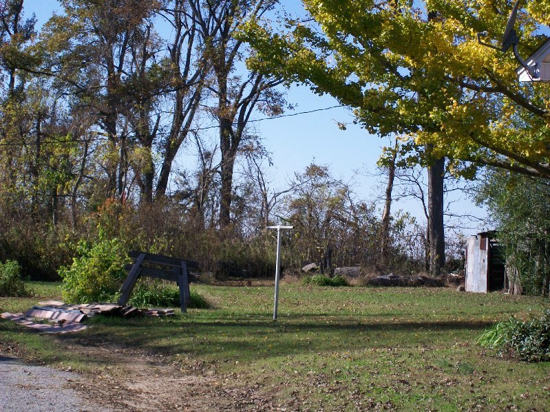
It's on HWY D near Caruthersville, see picture for location. This is private property, you'll need to locate the land owner and get permission to visit.
Mounds Cemetery is located on 873 Rear State Hwy D, Caruthersville, Pemiscot, Missouri. Note: The cemetery is overgrown and sits on private property owned by the late James & Geneva Moody. They purchased the land 51 years ago from Clinton Cunningham. Mr. Cunningham allowed people in this area to bury their dead behind his home because it was on high land and most of the other land was swampy. The cemetery is in the historical archives at the Caruthersville Public Library and some graves are noted but most are unmarked.
Nearby cemeteries

Steele, Pemiscot County, Missouri, USA
- Total memorials7k+
- Percent photographed77%
- Percent with GPS7%

Caruthersville, Pemiscot County, Missouri, USA
- Total memorials7k+
- Percent photographed56%
- Percent with GPS76%

Portageville, Pemiscot County, Missouri, USA
- Total memorials6k+
- Percent photographed80%
- Percent with GPS4%

Caruthersville, Pemiscot County, Missouri, USA
- Total memorials5k+
- Percent photographed46%
- Percent with GPS78%
- Added: 11 Mar 2009
- Find a Grave Cemetery ID: 2297300

Cemetery Photos
This is a carousel with slides. Use Next and Previous buttons to navigate, or jump to a slide with the slide dots. Use Escape keyboard button or the Close button to close the carousel.

Success
Uploading...
Waiting...
Failed
This photo was not uploaded because this cemetery already has 20 photos
This photo was not uploaded because you have already uploaded 5 photos to this cemetery
This photo was not uploaded because you have already uploaded 5 photos to this cemetery
Invalid File Type
Birth and death years unknown.
1 photo picked...
2 photos picked...
Uploading 1 Photo
Uploading 2 Photos
1 Photo Uploaded
2 Photos Uploaded
Size exceeded
Too many photos have been uploaded
"Unsupported file type"
• ##count## of 0 memorials with GPS displayed. Double click on map to view more.No cemeteries found