Village of Fort Plain Cemetery
Fort Plain, Montgomery County, New York, USA
About
-
- Cemetery ID:
Members have Contributed
Advertisement
Photos


The exact date of the construction of the congregation's first sanctuary is unknown, however, a rough surveyor's sketch drawn by William Cockburn of Kingston, Ulster County, New York entitled: "A Map of Lands on the South side the Mohawk River between Canajoharie & the German Flatts for Philip Livingston 1771," demonstrates a Church upon the 1730 Otsquago Patent near the approximate site of Sand Hill.
On August 2, 1780, Fort Plank, which guarded the Canajoharie Settlements, was attacked by British marauders under the command of Captain Joseph Brant and the church and the settlement were destroyed. Nine children and an "old women" were killed in the area and all were buried in a common grave together per Robert H. Wendell (RWPA #R11321). Then on July 11, 1781 Captain Robert McKean of Cherry Valley succumbed to wounds he received in the Battle of Turlough. Edward Evans recalls, in his Revolutionary War Pension Application (S3487), that McKean's body was exhumed from the burial ground in the summer of 1782 and moved to the site of a new blockhouse dubbed Fort McKean, but it was later be referred to as Fort Rensselaer, as where all military installations in the Canajoharie Settlements by order of William Alexander, Lord Sterling.
The congregation was disbanded by 1832 and the property fell into the hands of the Reverend John Wack who was defrocked. In 1832 all of the Church's property was sold at Sheriff's Sale and the Cemetery property fell into the hands of Peter Harder who in turn sold it to the Village of Fort Plain exclusively for the continued usage as a burial ground. The graveyard was then renamed the Village of Fort Plain Cemetery. By 1852, the Cemetery was ‘full', the law only allowing for 300 graves per acre, and a new Cemetery which is now known as the "Fort Plain Cemetery' was opened by the Village Board, and is owned by the "Fort Plain Cemetery Association".
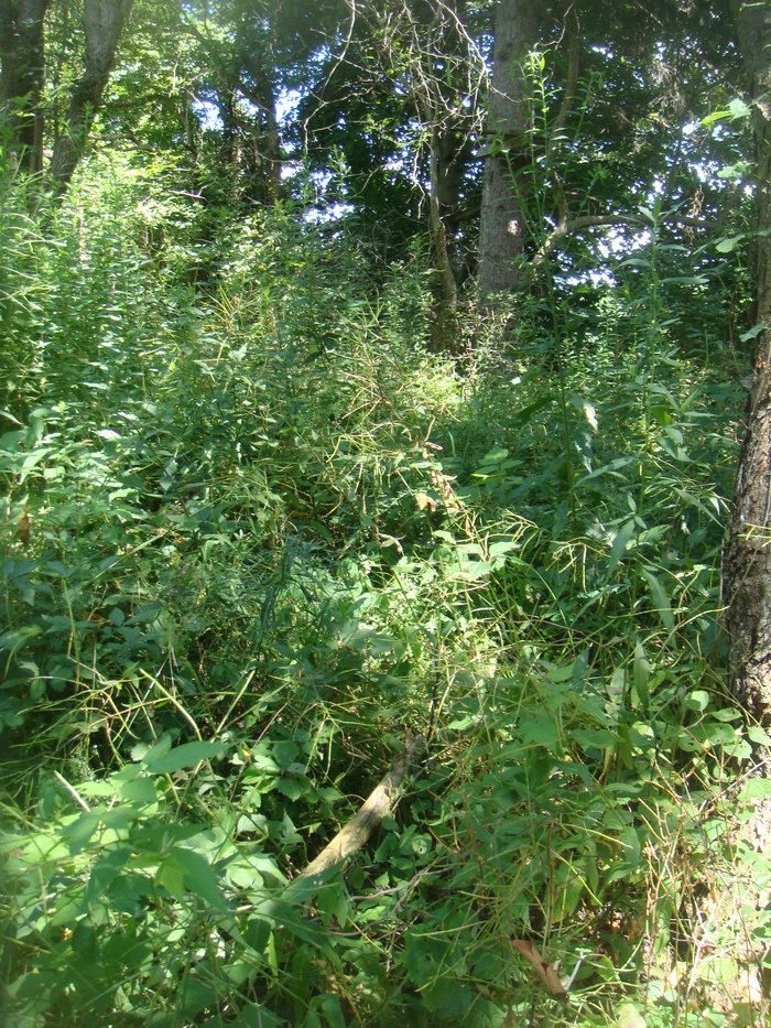
"The Reformed German Church at Canajoharie" or "The Village of Fort Plain Cemetery" remains in the ownership of the Village Fort Plain. In the 1940's, the Irvin Klock Family of Minden Township was allowed to remove the gravestones and crush them for fill, per Raymond Luft, Douglas Ayres, and a Mr. Planck of Fort Plain. Only one stone belonging to the heirs of Robert McFarlan remains as of September 1, 2012.
The cemetery is now cared for and monitored by Ken D. & Lesa D. Johnson of Fort Plain (518-993-3885). Persons wishing to visit the graveyard are strongly urged to contact them before visiting due to the right-of-way into the Cemetery being covered with construction debris.
The exact date of the construction of the congregation's first sanctuary is unknown, however, a rough surveyor's sketch drawn by William Cockburn of Kingston, Ulster County, New York entitled: "A Map of Lands on the South side the Mohawk River between Canajoharie & the German Flatts for Philip Livingston 1771," demonstrates a Church upon the 1730 Otsquago Patent near the approximate site of Sand Hill.
On August 2, 1780, Fort Plank, which guarded the Canajoharie Settlements, was attacked by British marauders under the command of Captain Joseph Brant and the church and the settlement were destroyed. Nine children and an "old women" were killed in the area and all were buried in a common grave together per Robert H. Wendell (RWPA #R11321). Then on July 11, 1781 Captain Robert McKean of Cherry Valley succumbed to wounds he received in the Battle of Turlough. Edward Evans recalls, in his Revolutionary War Pension Application (S3487), that McKean's body was exhumed from the burial ground in the summer of 1782 and moved to the site of a new blockhouse dubbed Fort McKean, but it was later be referred to as Fort Rensselaer, as where all military installations in the Canajoharie Settlements by order of William Alexander, Lord Sterling.
The congregation was disbanded by 1832 and the property fell into the hands of the Reverend John Wack who was defrocked. In 1832 all of the Church's property was sold at Sheriff's Sale and the Cemetery property fell into the hands of Peter Harder who in turn sold it to the Village of Fort Plain exclusively for the continued usage as a burial ground. The graveyard was then renamed the Village of Fort Plain Cemetery. By 1852, the Cemetery was ‘full', the law only allowing for 300 graves per acre, and a new Cemetery which is now known as the "Fort Plain Cemetery' was opened by the Village Board, and is owned by the "Fort Plain Cemetery Association".
"The Reformed German Church at Canajoharie" or "The Village of Fort Plain Cemetery" remains in the ownership of the Village Fort Plain. In the 1940's, the Irvin Klock Family of Minden Township was allowed to remove the gravestones and crush them for fill, per Raymond Luft, Douglas Ayres, and a Mr. Planck of Fort Plain. Only one stone belonging to the heirs of Robert McFarlan remains as of September 1, 2012.
The cemetery is now cared for and monitored by Ken D. & Lesa D. Johnson of Fort Plain (518-993-3885). Persons wishing to visit the graveyard are strongly urged to contact them before visiting due to the right-of-way into the Cemetery being covered with construction debris.
Nearby cemeteries

Fort Plain, Montgomery County, New York, USA
- Total memorials6
- Percent photographed100%
- Percent with GPS17%

Fort Plain, Montgomery County, New York, USA
- Total memorials15k+
- Percent photographed70%
- Percent with GPS18%

Fort Plain, Montgomery County, New York, USA
- Total memorials5
- Percent photographed100%
Fort Plain, Montgomery County, New York, USA
- Total memorials2
- Percent photographed0%
- Added: 29 Aug 2012
- Find a Grave Cemetery ID: 2463555

Cemetery Photos
This is a carousel with slides. Use Next and Previous buttons to navigate, or jump to a slide with the slide dots. Use Escape keyboard button or the Close button to close the carousel.


Success
Uploading...
Waiting...
Failed
This photo was not uploaded because this cemetery already has 20 photos
This photo was not uploaded because you have already uploaded 5 photos to this cemetery
This photo was not uploaded because you have already uploaded 5 photos to this cemetery
Invalid File Type
Birth and death years unknown.
1 photo picked...
2 photos picked...
Uploading 1 Photo
Uploading 2 Photos
1 Photo Uploaded
2 Photos Uploaded
Size exceeded
Too many photos have been uploaded
"Unsupported file type"
• ##count## of 0 memorials with GPS displayed. Double click on map to view more.No cemeteries found