Stepp Cemetery
Benton Township, Monroe County, Indiana, USA
About
-
Get directions 5006 E Main Forest Road
Benton Township, Indiana 46151 United StatesCoordinates: 39.31360, -86.43000 - Cemetery ID:
Members have Contributed
Advertisement
Photos


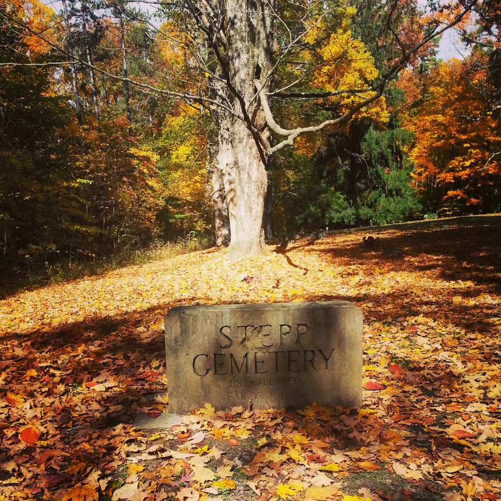
The cemetery is located in Benton Township (SW quadrant of the NE quadrant of the SW quadrant of Section 9, Township 10N, Range 1E) about 700 feet northwest of Main Forest Road along the Path to Stepp Cemetery, which crosses Three Lakes Trail near the cemetery, about 0.2 miles west of its intersection with N Bean Blossom Road.
Indiana Cemetery Locations, Volume 2, published by the Indiana Genealogical Society (01 April 2006), gives the primary cemetery name as Stepp Cemetery.
The cemetery is listed in the Cemetery and Burial Grounds Registry of the Indiana Department of Natural Resources (DNR) and in the State Historical Architectural and Archaeological Research Database (SHAARD) with Cemetery Record Number CR-63-64 (Stepp) and CR-53-314 (Stepp Cemetery).
The Indiana Historic Sites and Structures Inventory (IHSSI) survey number for Sargent Cemetery is 105-279-01002 with the dataset compiled in 1989.
The U.S. Geological Survey (USGS) Geographic Names Information System (GNIS) feature ID for the cemetery is 444131 (Stepp Cemetery).
Nearby cemeteries

Hindustan, Monroe County, Indiana, USA
- Total memorials31
- Percent photographed90%
- Percent with GPS6%

Unionville, Monroe County, Indiana, USA
- Total memorials175
- Percent photographed89%
- Percent with GPS3%

Martinsville, Morgan County, Indiana, USA
- Total memorials100
- Percent photographed65%
- Percent with GPS2%

Hindustan, Monroe County, Indiana, USA
- Total memorials580
- Percent photographed83%
- Percent with GPS3%
- Added: 1 Jan 2000
- Find a Grave Cemetery ID: 87026

Cemetery Photos
This is a carousel with slides. Use Next and Previous buttons to navigate, or jump to a slide with the slide dots. Use Escape keyboard button or the Close button to close the carousel.


Success
Uploading...
Waiting...
Failed
This photo was not uploaded because this cemetery already has 20 photos
This photo was not uploaded because you have already uploaded 5 photos to this cemetery
This photo was not uploaded because you have already uploaded 5 photos to this cemetery
Invalid File Type
Birth and death years unknown.
1 photo picked...
2 photos picked...
Uploading 1 Photo
Uploading 2 Photos
1 Photo Uploaded
2 Photos Uploaded
Size exceeded
Too many photos have been uploaded
"Unsupported file type"
• ##count## of 0 memorials with GPS displayed. Double click on map to view more.No cemeteries found