St Peter and St Paul Churchyard
Upper Hardres, City of Canterbury, Kent, England
About
-
Get directions Hardres Court Road
Upper Hardres, City of Canterbury, Kent CT4 6EN EnglandCoordinates: 51.21524, 1.08110 - Cemetery ID:
Members have Contributed
Advertisement
Photos

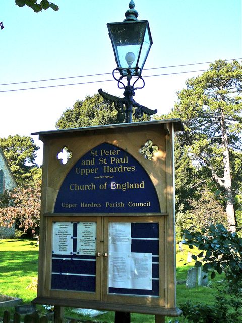
The churchyard lies around the church in a bend of the road, towards the end of the small village. (The name is locally pronounced "Hards", without the 'r'.) It has some large, shady trees, and is still in use.
(Text by Sheilia W.)
The churchyard lies around the church in a bend of the road, towards the end of the small village. (The name is locally pronounced "Hards", without the 'r'.) It has some large, shady trees, and is still in use.
(Text by Sheilia W.)
Nearby cemeteries

Petham, City of Canterbury, Kent, England
- Total memorials87
- Percent photographed76%
- Percent with GPS0%

Stelling Minnis, Shepway District, Kent, England
- Total memorials1k+
- Percent photographed3%
- Percent with GPS0%

Lower Hardres, City of Canterbury, Kent, England
- Total memorials360
- Percent photographed75%
- Percent with GPS13%

Nackington, City of Canterbury, Kent, England
- Total memorials170
- Percent photographed21%
- Percent with GPS0%
- Added: 14 Oct 2010
- Find a Grave Cemetery ID: 2373833

Cemetery Photos
This is a carousel with slides. Use Next and Previous buttons to navigate, or jump to a slide with the slide dots. Use Escape keyboard button or the Close button to close the carousel.

Success
Uploading...
Waiting...
Failed
This photo was not uploaded because this cemetery already has 20 photos
This photo was not uploaded because you have already uploaded 5 photos to this cemetery
This photo was not uploaded because you have already uploaded 5 photos to this cemetery
Invalid File Type
Birth and death years unknown.
1 photo picked...
2 photos picked...
Uploading 1 Photo
Uploading 2 Photos
1 Photo Uploaded
2 Photos Uploaded
Size exceeded
Too many photos have been uploaded
"Unsupported file type"
• ##count## of 0 memorials with GPS displayed. Double click on map to view more.No cemeteries found