Adams - Ward Cemetery
Altavista, Campbell County, Virginia, USA
About
-
Get directions Mansion Bridge Rd
Altavista, Virginia 24517 United StatesCoordinates: 37.13210, -79.24073 - Cemetery ID:
Members have Contributed
Advertisement
Photos

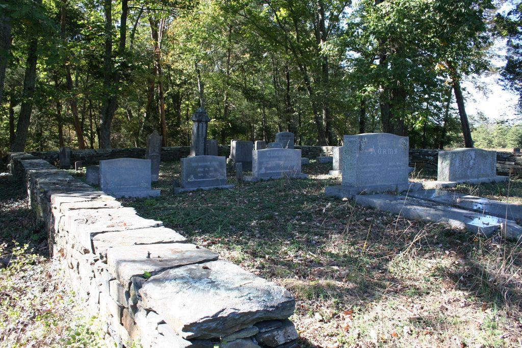
This cemetery dates back to the 1700s and is named for the Ward and Adams families who built and restored homes, The Mansion and Monteflora, near the confluence of the Otter and Staunton Rivers.
John Ward, whose name was given to the road he surveyed leading to Lynchburg - "Wards Road" (aka US Hwy 29) - was buried here in 1816.
Also buried here is John Biddle Rutledge who built Monteflora. He married John Ward's granddaughter Lucinda Dillard Ward on the third floor of the Mansion in 1823.
Directions:
Take Riverbend Road from Altavista to Mansion Bridge Road. The graveyard is just a couple hundred yards southwest of the intersection of Mansion Bridge Road and Lark Lane, less than a mile from where Mansion Bridge crosses the Staunton River, due east of where the Big Otter River merges into the Staunton River. The graveyard is hidden behind the cover of trees, but can be seen on aerial maps.
(FYI - Roanoke River is known as Staunton River in Campbell & Halifax Counties)
Nearby cemeteries

Altavista, Campbell County, Virginia, USA
- Total memorials2k+
- Percent photographed86%
- Percent with GPS0%

Hurt, Pittsylvania County, Virginia, USA
- Total memorials21
- Percent photographed86%
- Percent with GPS0%
Hurt, Pittsylvania County, Virginia, USA
- Total memorials14
- Percent photographed86%
- Percent with GPS7%

Altavista, Campbell County, Virginia, USA
- Total memorials51
- Percent photographed96%
- Percent with GPS0%
- Added: 16 Jan 2014
- Find a Grave Cemetery ID: 2527032

Cemetery Photos
This is a carousel with slides. Use Next and Previous buttons to navigate, or jump to a slide with the slide dots. Use Escape keyboard button or the Close button to close the carousel.

Success
Uploading...
Waiting...
Failed
This photo was not uploaded because this cemetery already has 20 photos
This photo was not uploaded because you have already uploaded 5 photos to this cemetery
This photo was not uploaded because you have already uploaded 5 photos to this cemetery
Invalid File Type
Birth and death years unknown.
1 photo picked...
2 photos picked...
Uploading 1 Photo
Uploading 2 Photos
1 Photo Uploaded
2 Photos Uploaded
Size exceeded
Too many photos have been uploaded
"Unsupported file type"
• ##count## of 0 memorials with GPS displayed. Double click on map to view more.No cemeteries found