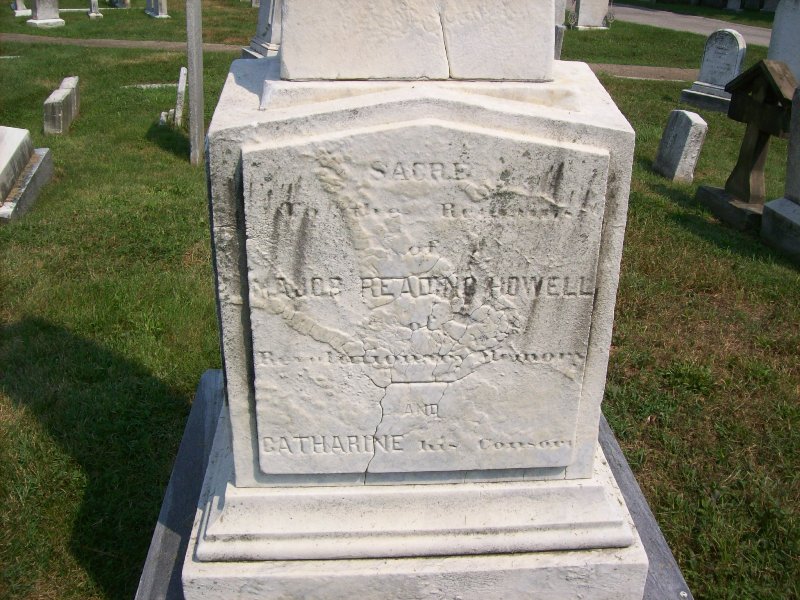
Revolutionary War Soldier. Cartographer. He made the first great map of the Commonwealth of Pennsylvania. It was the most accurate map of the area published during the 18th century, and one of the most detailed maps of any American colony or state before 1800. The map showed the state's exact boundaries, with its western limits. Howell's maps identified towns, roads, boundaries, donation lands, and extensive topographical detail. He was married to Catharine Yerkes.
Revolutionary War Soldier. Cartographer. He made the first great map of the Commonwealth of Pennsylvania. It was the most accurate map of the area published during the 18th century, and one of the most detailed maps of any American colony or state before 1800. The map showed the state's exact boundaries, with its western limits. Howell's maps identified towns, roads, boundaries, donation lands, and extensive topographical detail. He was married to Catharine Yerkes.
Family Members


Advertisement


Advertisement