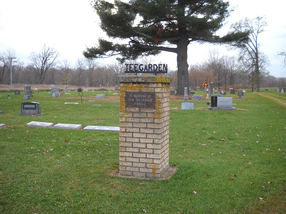
Teegarden Cemetery
Knapp, Dunn County, Wisconsin, USA
About
-
Get directions 271st Street & U.S. Highway 12
Knapp, Wisconsin, USACoordinates: 44.94060, -92.02420 - Cemetery ID:
Members have Contributed
Advertisement
Photos


Head east on U.S. Highway 12 for three miles.
Turn left (north) on 271st Street.
Cross railroad tracks.
Cemetery on left.
Directions from Menomonie:
Head west on U.S. Highway 12 for 5.6 miles.
Turn right (north) on 271st Street.
Cross railroad tracks.
Cemetery on left.
Head east on U.S. Highway 12 for three miles.
Turn left (north) on 271st Street.
Cross railroad tracks.
Cemetery on left.
Directions from Menomonie:
Head west on U.S. Highway 12 for 5.6 miles.
Turn right (north) on 271st Street.
Cross railroad tracks.
Cemetery on left.
Nearby cemeteries

Knapp, Dunn County, Wisconsin, USA
- Total memorials1k+
- Percent photographed93%
- Percent with GPS1%

Menomonie, Dunn County, Wisconsin, USA
- Total memorials277
- Percent photographed94%
- Percent with GPS0%

Menomonie, Dunn County, Wisconsin, USA
- Total memorials331
- Percent photographed92%
- Percent with GPS2%

Menomonie, Dunn County, Wisconsin, USA
- Total memorials191
- Percent photographed74%
- Percent with GPS0%
- Added: 1 Jan 2000
- Find a Grave Cemetery ID: 89351

Cemetery Photos
This is a carousel with slides. Use Next and Previous buttons to navigate, or jump to a slide with the slide dots. Use Escape keyboard button or the Close button to close the carousel.


Success
Uploading...
Waiting...
Failed
This photo was not uploaded because this cemetery already has 20 photos
This photo was not uploaded because you have already uploaded 5 photos to this cemetery
This photo was not uploaded because you have already uploaded 5 photos to this cemetery
Invalid File Type
Birth and death years unknown.
1 photo picked...
2 photos picked...
Uploading 1 Photo
Uploading 2 Photos
1 Photo Uploaded
2 Photos Uploaded
Size exceeded
Too many photos have been uploaded
"Unsupported file type"
• ##count## of 0 memorials with GPS displayed. Double click on map to view more.No cemeteries found