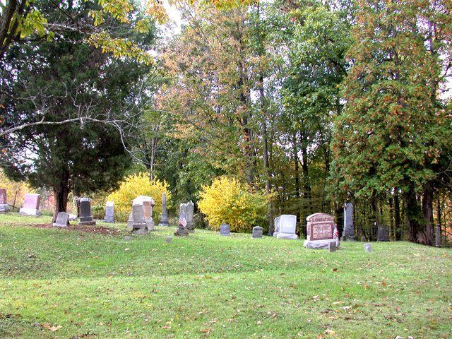
Zion Evangelical Cemetery
Also known as Mount Zion Cemetery , Zion Cemetery
Hannibal, Monroe County, Ohio, USA
About
-
Get directions Ohio State Route 536
Hannibal, Ohio 43915 United StatesCoordinates: 39.68164, -80.90918 - Cemetery ID:
Members have Contributed
Advertisement
Photos


The cemetery was established in 1846 and is 0.43 acres in size.
The cemetery is located in Ohio Township, Monroe County, Ohio, and is # 8142 (Zion Cemetery / Mount Zion Cemetery) in "Ohio Cemeteries 1803-2003", compiled by the Ohio Genealogical Society.
The U.S. Geological Survey (USGS) Geographic Names Information System (GNIS) feature ID for the cemetery is 1963783 (Mount Zion Cemetery).
Nearby cemeteries

Sardis, Monroe County, Ohio, USA
- Total memorials68
- Percent photographed74%
- Percent with GPS0%

Goodwin, Monroe County, Ohio, USA
- Total memorials325
- Percent photographed67%
- Percent with GPS0%

Ohio Township, Monroe County, Ohio, USA
- Total memorials216
- Percent photographed94%
- Percent with GPS2%

Hannibal, Monroe County, Ohio, USA
- Total memorials173
- Percent photographed85%
- Percent with GPS36%
- Added: 16 Sep 2012
- Find a Grave Cemetery ID: 2465801

Cemetery Photos
This is a carousel with slides. Use Next and Previous buttons to navigate, or jump to a slide with the slide dots. Use Escape keyboard button or the Close button to close the carousel.


Success
Uploading...
Waiting...
Failed
This photo was not uploaded because this cemetery already has 20 photos
This photo was not uploaded because you have already uploaded 5 photos to this cemetery
This photo was not uploaded because you have already uploaded 5 photos to this cemetery
Invalid File Type
Birth and death years unknown.
1 photo picked...
2 photos picked...
Uploading 1 Photo
Uploading 2 Photos
1 Photo Uploaded
2 Photos Uploaded
Size exceeded
Too many photos have been uploaded
"Unsupported file type"
• ##count## of 0 memorials with GPS displayed. Double click on map to view more.No cemeteries found