Coote Hill United Church Cemetery
Petersville, Queens County, New Brunswick, Canada
About
-
Get directions Lawfield Road
Petersville, Queens County, New Brunswick CanadaCoordinates: 45.57949, -66.29920 - Cemetery ID:
Members have Contributed
Advertisement


Queens County, Petersville Parish
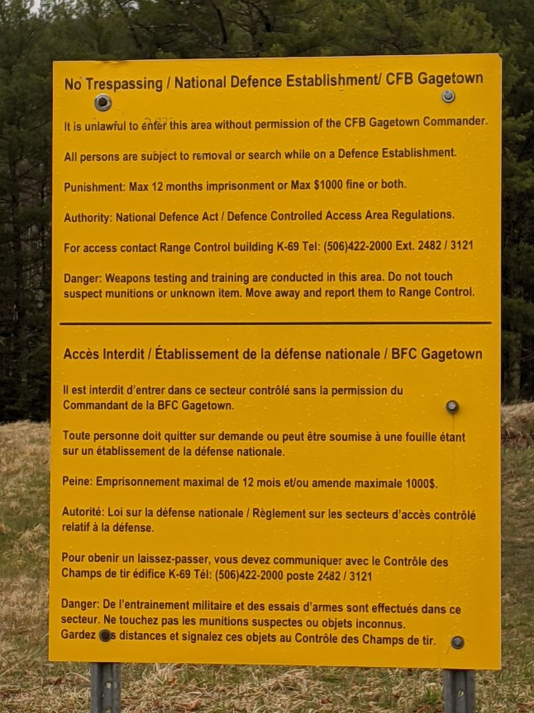
Location: Lawfield Road, Coote Hill, CFB Gagetown
Using MGRS (Military Grid Reference System):
19 T GL 10706 50876
Latitude: 45 34 46.18 Longitude: 66 17 57.11
Elevation (feet): 237
Approx Distance from Fredericton, NB (KM): 51.28
Bearing: SE
Queens County, Petersville Parish
Location: Lawfield Road, Coote Hill, CFB Gagetown
Using MGRS (Military Grid Reference System):
19 T GL 10706 50876
Latitude: 45 34 46.18 Longitude: 66 17 57.11
Elevation (feet): 237
Approx Distance from Fredericton, NB (KM): 51.28
Bearing: SE
Nearby cemeteries

Queens County, New Brunswick, Canada
- Total memorials3
- Percent photographed100%
- Percent with GPS0%

Petersville, Queens County, New Brunswick, Canada
- Total memorials29
- Percent photographed97%
- Percent with GPS0%

Queens County, New Brunswick, Canada
- Total memorials175
- Percent photographed13%
- Percent with GPS0%

Petersville, Queens County, New Brunswick, Canada
- Total memorials74
- Percent photographed11%
- Percent with GPS0%
- Added: 3 Feb 2012
- Find a Grave Cemetery ID: 2436135

Cemetery Photos
This is a carousel with slides. Use Next and Previous buttons to navigate, or jump to a slide with the slide dots. Use Escape keyboard button or the Close button to close the carousel.


Success
Uploading...
Waiting...
Failed
This photo was not uploaded because this cemetery already has 20 photos
This photo was not uploaded because you have already uploaded 5 photos to this cemetery
This photo was not uploaded because you have already uploaded 5 photos to this cemetery
Invalid File Type
Birth and death years unknown.
1 photo picked...
2 photos picked...
Uploading 1 Photo
Uploading 2 Photos
1 Photo Uploaded
2 Photos Uploaded
Size exceeded
Too many photos have been uploaded
"Unsupported file type"
• ##count## of 0 memorials with GPS displayed. Double click on map to view more.No cemeteries found