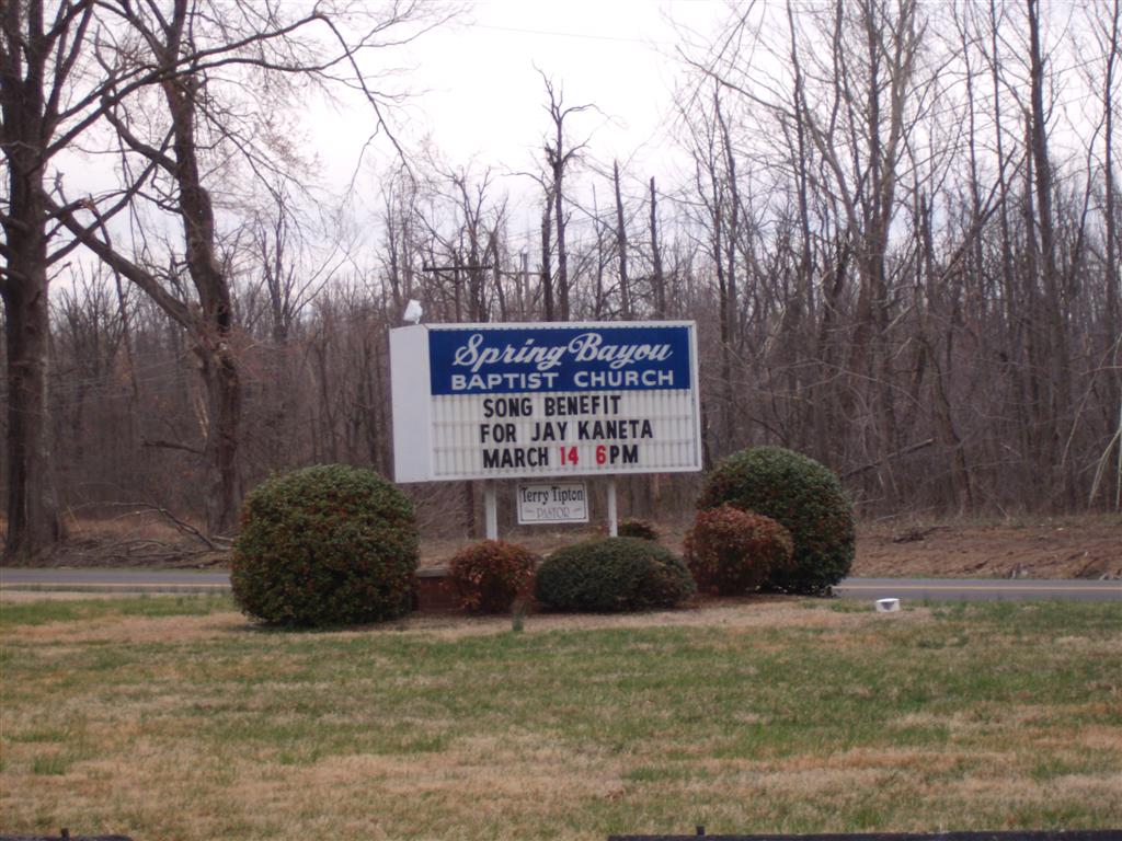
Spring Bayou Baptist Church Cemetery
McCracken County, Kentucky, USA
About
-
- Cemetery ID:
Members have Contributed
Advertisement


Directions: Coming from Interstate 24, get off at Exit 4 (US-60) and travel west on US-60 approximately
9-12 miles to the stop light at the junction with KY-1154. Turning right onto KY-1154, travel north approximately 2 miles to the intersection with KY-725 (also known as Woodville Road). Turning left at the flashing
caution light onto KY-725, travel 0.2 miles and the Spring Bayou Baptist Church is located
on the left side of KY-725 at the junction with a county road named "Old Hobbs Road".
Travelers will be able to see the church from the left side KY-1154 as they travel towards
KY-725. Cemetery is located directly behind church.
History: Land was donated to Spring Bayou Baptist Church for the establishment of the cemetery in
1895. Currently, there are 396 marked and legible gravesites,369 actual buried individuals,
and one unmarked/unknown grave in the cemetery. The general area of the unmarked/unknown
grave is known and a photo of the temporary metal marker was made, but is not legible.
Nearby cemeteries

McCracken County, Kentucky, USA
- Total memorials25
- Percent photographed88%
- Percent with GPS0%

McCracken County, Kentucky, USA
- Total memorials12
- Percent photographed100%
- Percent with GPS0%

Future City, McCracken County, Kentucky, USA
- Total memorials29
- Percent photographed83%
- Percent with GPS0%
McCracken County, Kentucky, USA
- Total memorials0
- Percent photographed0%
- Percent with GPS0%
- Added: 27 Oct 2007
- Find a Grave Cemetery ID: 2237392

Cemetery Photos
This is a carousel with slides. Use Next and Previous buttons to navigate, or jump to a slide with the slide dots. Use Escape keyboard button or the Close button to close the carousel.


Success
Uploading...
Waiting...
Failed
This photo was not uploaded because this cemetery already has 20 photos
This photo was not uploaded because you have already uploaded 5 photos to this cemetery
This photo was not uploaded because you have already uploaded 5 photos to this cemetery
Invalid File Type
Birth and death years unknown.
1 photo picked...
2 photos picked...
Uploading 1 Photo
Uploading 2 Photos
1 Photo Uploaded
2 Photos Uploaded
Size exceeded
Too many photos have been uploaded
"Unsupported file type"
• ##count## of 0 memorials with GPS displayed. Double click on map to view more.No cemeteries found