Council Hill Cemetery
Peck, Sumner County, Kansas, USA

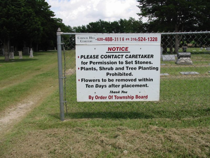
north side of the cemetery (2006).
Belle Plaine Twp. Location from Peck: 2 S, 1 E, ¼ S.
This cemetery was established in 1881. The land, measuring 498' X 330', was obtained from Marcellus Piat. The plat was recorded Oct 3, 1881.
The Board of Trustees were Marcellus Piat, L.D. Ordway, and Hillary Hurst.
The oldest marker is dated Jan 7, 1882.
Nearby cemeteries

Peck, Sumner County, Kansas, USA
- Total memorials57
- Percent photographed88%
- Percent with GPS0%

Zyba, Sumner County, Kansas, USA
- Total memorials275
- Percent photographed96%
- Percent with GPS3%

Clearwater, Sedgwick County, Kansas, USA
- Total memorials157
- Percent photographed96%
- Percent with GPS7%

Haysville, Sedgwick County, Kansas, USA
- Total memorials37
- Percent photographed100%
- Percent with GPS0%
- Added: 12 Feb 2004
- Find a Grave Cemetery ID: 1978134

Cemetery Photos
This is a carousel with slides. Use Next and Previous buttons to navigate, or jump to a slide with the slide dots. Use Escape keyboard button or the Close button to close the carousel.

Success
Uploading...
Waiting...
Failed
This photo was not uploaded because this cemetery already has 20 photos
This photo was not uploaded because you have already uploaded 5 photos to this cemetery
This photo was not uploaded because you have already uploaded 5 photos to this cemetery
Invalid File Type
Birth and death years unknown.
1 photo picked...
2 photos picked...
Uploading 1 Photo
Uploading 2 Photos
1 Photo Uploaded
2 Photos Uploaded
Size exceeded
Too many photos have been uploaded
"Unsupported file type"
• ##count## of 0 memorials with GPS displayed. Double click on map to view more.No cemeteries found