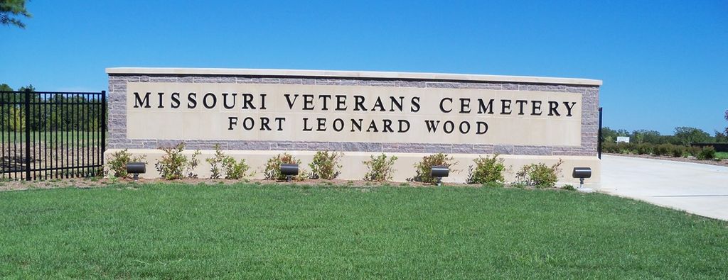
Missouri Veterans Cemetery at Fort Leonard Wood
Fort Leonard Wood, Pulaski County, Missouri, USA
About
-
- mvc.dps.mo.gov/cemeteries/ftleonardwood.php
- Cemetery ID:
Members have Contributed
Advertisement
Photos


The Opening Dedication Ceremony was held on Monday, September 13, 2010.
The Groundbreaking Ceremony for the Missouri Veterans Cemetery at Fort Leonard Wood was held on November 7, 2008. The 229 acres that comprise the cemetery were donated by the U.S. Army Maneuver Support Center and Fort Leonard Wood. Initial development consists of 25 acres that are estimated to last approximately 25-30 years before further development is needed. In addition to land for burials, the cemetery has an administration building, a maintenance facility, a committal shelter for conducting interment services, and a columbarium wall for cremation interment.
Because of its location on the north western edge of Fort Leonard Wood (with easy access to I-44), this cemetery has a rural Waynesville mailing address:
Missouri Veterans Cemetery - Fort Leonard Wood
25350 Highway H
Waynesville, MO 65583
(573) 336-4291
Driving directions: From I-44 exit 156 at Waynesville, Missouri, travel south on Highway H towards Fort Leonard Wood slightly over 1 mile where Highway H turns to the right. There are signs clearly marking the turn towards the Missouri Veterans Cemetery. The entrance to the cemetery is approximately 2/10 of a mile on the left after you have turned onto the old Highway H.
Nearby cemeteries

Waynesville, Pulaski County, Missouri, USA
- Total memorials47
- Percent photographed100%
- Percent with GPS100%

Waynesville, Pulaski County, Missouri, USA
- Total memorials232
- Percent photographed83%
- Percent with GPS79%

Pulaski County, Missouri, USA
- Total memorials18
- Percent photographed78%
- Percent with GPS78%

Waynesville, Pulaski County, Missouri, USA
- Total memorials33
- Percent photographed24%
- Percent with GPS6%
- Added: 28 Jul 2010
- Find a Grave Cemetery ID: 2363849

Cemetery Photos
This is a carousel with slides. Use Next and Previous buttons to navigate, or jump to a slide with the slide dots. Use Escape keyboard button or the Close button to close the carousel.


Success
Uploading...
Waiting...
Failed
This photo was not uploaded because this cemetery already has 20 photos
This photo was not uploaded because you have already uploaded 5 photos to this cemetery
This photo was not uploaded because you have already uploaded 5 photos to this cemetery
Invalid File Type
Birth and death years unknown.
1 photo picked...
2 photos picked...
Uploading 1 Photo
Uploading 2 Photos
1 Photo Uploaded
2 Photos Uploaded
Size exceeded
Too many photos have been uploaded
"Unsupported file type"
• ##count## of 0 memorials with GPS displayed. Double click on map to view more.No cemeteries found