Colts Cemetery
Also known as Cotes Cemetery
Colts, Harlan County, Kentucky, USA

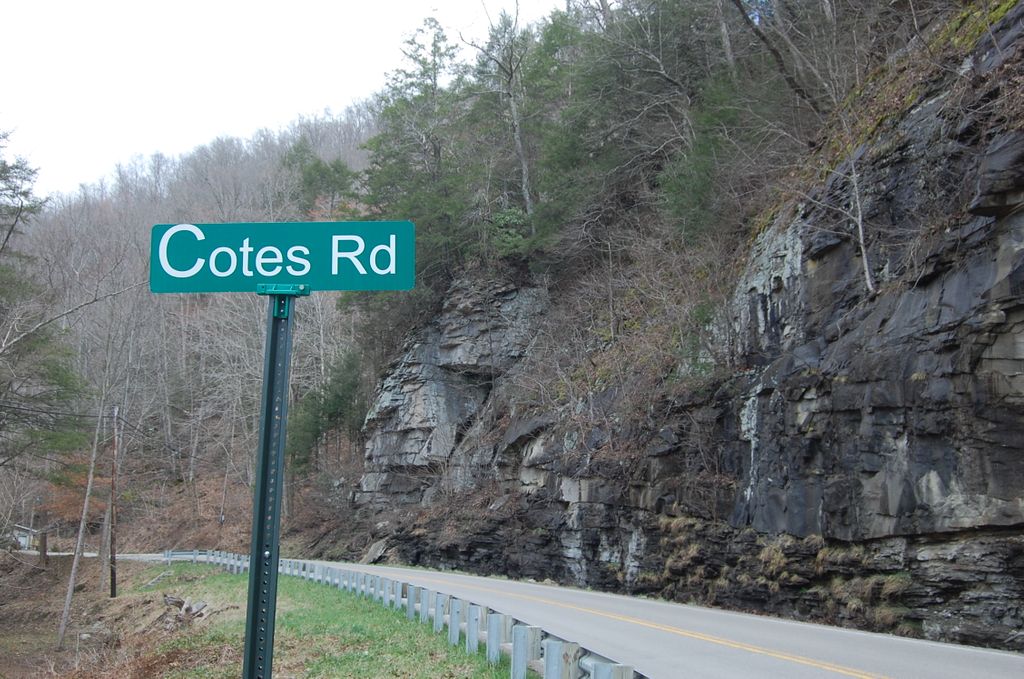
If you are travelling east on Highway 38 towards Virginia, then immediately after passing through Short Town the road will begin to curve to the left. In the middle of the curve there is a narrow, two lane bridge on the left hand side of the road that goes over the river. Turn left onto this bridge. The road will dead end at a T intersection on the other side bridge. Turn left at the T intersection. After turning left, you will be driving parallel to (and between) the river and railroad tracks. You can take the immediate, first or the second road on the right. Both of these roads go over the railroad tracks and connect to a road on the other side of the tracks that runs parallel to the tracks. My suggestion is to take the first right since it is a much easier grade over the railroad tracks. If you take the first right, then immediately after crossing the railroad tracks you will need to make a left hand turn. Follow this road a short distance until it comes to a T intersection. At the T intersection take a right hand turn. Follow this road as it moves from pavement to gravel and winds up to the top of the hill. You are at Cotes/Colts Cemetery.
Once the road turns to grave it becomes a one lane road, so for the short distance to the top you need to be careful of traffic coming back down from the cemetery. There are no signs indicating the name of the cemetery.
Nearby cemeteries
Evarts, Harlan County, Kentucky, USA
- Total memorials0
- Percent photographed0%
- Percent with GPS0%
Colts, Harlan County, Kentucky, USA
- Total memorials5
- Percent photographed40%

Evarts, Harlan County, Kentucky, USA
- Total memorials6
- Percent photographed100%
- Percent with GPS0%
- Added: 29 Mar 2009
- Find a Grave Cemetery ID: 2299401

Cemetery Photos
This is a carousel with slides. Use Next and Previous buttons to navigate, or jump to a slide with the slide dots. Use Escape keyboard button or the Close button to close the carousel.

Success
Uploading...
Waiting...
Failed
This photo was not uploaded because this cemetery already has 20 photos
This photo was not uploaded because you have already uploaded 5 photos to this cemetery
This photo was not uploaded because you have already uploaded 5 photos to this cemetery
Invalid File Type
Birth and death years unknown.
1 photo picked...
2 photos picked...
Uploading 1 Photo
Uploading 2 Photos
1 Photo Uploaded
2 Photos Uploaded
Size exceeded
Too many photos have been uploaded
"Unsupported file type"
• ##count## of 0 memorials with GPS displayed. Double click on map to view more.No cemeteries found