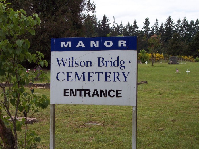
Manor Wilson Bridge Cemetery
Also known as Wilson Bridge Cemetery , Flatwoods Graveyard
Vancouver, Clark County, Washington, USA
About
-
Get directions NE 144th St. & NE 72nd Ave
Vancouver, Washington 98686 United StatesCoordinates: 45.72722, -122.60042 - Cemetery ID:
Members have Contributed
Advertisement
Photos


Manor Wilson Bridge Cemetery is not to be confused with Memory Memorial Park Cemetery directly adjacent to it. They have separate driveways and are completely independent of each other.
As I promised here is the History of the cemetery and now you can removed the "description" currently being shown.
It was established in 1872 and it did not have a numbering system for the blocks until 1961 when the Wilson Bridge Cemetery, Inc. established the system. Beginning at the Southeast corner and then proceeding North along its east boundary to the Northeast corner and then returning back to the south with next row and so forth. Seven (7) rows to the West one comes to the North/South Road. A East/West road lies between Lot 1 & 2, 27 & 28, 29 & 30, 55 & 56, 57 & 58, 83 & 84, 85 & 86 where the north/south road is joined up. There are 4 more rows lying west of the North/South Road. Each block has 5 graves and in each block the graves are numbered from North to South.
There are a total of 159 Lots.
In 1917 a Survey Plat of the 1st addition was surveyed and platted, laying out, marking each Block corner, 11 more rows to the West of original Cemetery (there was a fence at that time), adding 176 more lots. Said Plat identified that the Northwest corner of the old Cemetery as being 2,018.7 feet North and 214. 0 feet West of the SE Corner of Section 19, T.3N., R.2E., Willamette Base and Meridian.
Numbering of the Block began at the south end with lot No. 1 and continued north ending at Lot 16 and returned to the south with numbering scheme. Each lot is 24 feet long North to South and 12 feet wide. Each Lot is separated by 3.0 feet and each row by 4.0 feet. Lots at North end have the 3.0 feet and then an additional 18.1 feet to accommodate a drive. The Westerly lots have the 4.0 feet plus 10.0 feet to accommodate a drive.
There are more blocks to the West of Drive but unknown what numbering system was used and when established.
A drive was created through some of the south lots to connect with the existing drive but no record of it was found. The Wilson Bridge Cemetery, Inc. apparently was unaware of the Plat of 1917 and created new Block numbers and created the road through the platted lots.
Nearby cemeteries

Vancouver, Clark County, Washington, USA
- Total memorials1k+
- Percent photographed93%
- Percent with GPS4%

Vancouver, Clark County, Washington, USA
- Total memorials530
- Percent photographed94%
- Percent with GPS16%
Brush Prairie, Clark County, Washington, USA
- Total memorials1
- Percent photographed100%

Ridgefield, Clark County, Washington, USA
- Total memorials2k+
- Percent photographed93%
- Percent with GPS2%
- Added: 1 Jan 2000
- Find a Grave Cemetery ID: 77118

Cemetery Photos
This is a carousel with slides. Use Next and Previous buttons to navigate, or jump to a slide with the slide dots. Use Escape keyboard button or the Close button to close the carousel.


Success
Uploading...
Waiting...
Failed
This photo was not uploaded because this cemetery already has 20 photos
This photo was not uploaded because you have already uploaded 5 photos to this cemetery
This photo was not uploaded because you have already uploaded 5 photos to this cemetery
Invalid File Type
Birth and death years unknown.
1 photo picked...
2 photos picked...
Uploading 1 Photo
Uploading 2 Photos
1 Photo Uploaded
2 Photos Uploaded
Size exceeded
Too many photos have been uploaded
"Unsupported file type"
• ##count## of 0 memorials with GPS displayed. Double click on map to view more.No cemeteries found